Login

Forgot your login?

Cookies have to be accepted!
Your browser's cookie functionality is disabled. Please enable this functionality.

Not a member yet?

Register now
Login

Available for registred users only

Log in to use this feature.

Forgot your login?

Cookies have to be accepted!
Your browser's cookie functionality is disabled. Please enable this functionality.

Not a member yet?

Register now
Filter
Categories
Advanced filters
  • Distance (km)
  • Height
Save filters Reset filter

TrackRank

QRCode

Technical data

Distance24,3 km Height332 m Way down310 m Duration03:20 h:m Date20.08.2008
Scores Author User Landscape Fun factor Fitness Technique

Statistics

3579 Views 4 Scores 382 Downloads 3.75 Average
Rate
  • Track data sheet
  • Directions
  • Downloads
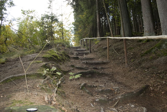
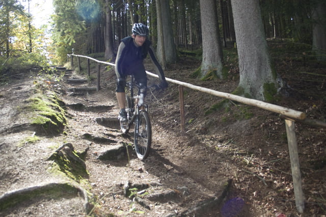
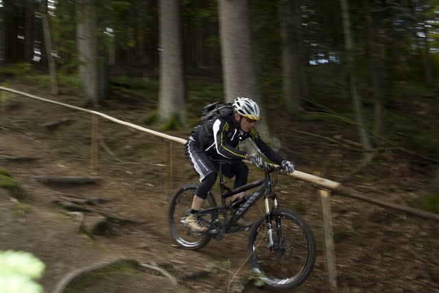
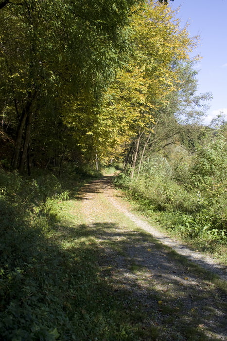
Eine Rundtour im ILZ Tal. Super Trails, sehr anspruchsvoll an Fahrtechnik und Kondition. Spaßfaktor garantiert! Achtung, ein kleiner Teil der Tour verbietet Biken!!!

Tour gallery

Tour map and elevation profile

  • Open Street Map
  • Google
Minimum height 278 m Maximum height 385 m Detailed view

More about the tour author

tontassi
Member since 2008

Send private message

Comments

oliver-ringel on 15.11.2010

Ilz Tour

Hab die Tour im Spätherbst 2010 bei gutem Wetter gefahren. Superschöne Landschaft und auch tolle Trails. Die Radfahrverbotsschilder begleiten einen aber sehr hartnäckig, so dass man schon fast ein schlechtes Gewissen hat. Ich war Samstag vormittags unterwegs und hatte keine Wanderer auf der Strecke. Würde es im Sommer allerdings nicht versuchen - gibt bestimmt nur Ärger.
beunenvanbengel on 30.07.2012

Nice

Very nice route with an easy start and finish.
The round on the stuw is very good!
A lot of different surface and nature types, we loved it!

GPS tracks

Trackpoints
  • GPX / Garmin Map Source (gpx) download
  • TCX / Garmin Training Center® (tcx) download
  • CRS / Garmin Training Center® (crs) download
  • Google Earth (kml) download
  • G7ToWin (g7t) download
  • TTQV (trk) download
  • Overlay (ovl) download
  • Fugawi (txt) download
  • Kompass (DAV) Track (tk) download
  • Track data sheet (pdf) download
  • Original file of the author (gpx) download

More about the tour author

tontassi
Member since 2008

Send private message
Share track
Add to my favorites
Remove from my favorites
Edit tags
My score
Rate
Track: Ilztal Trail
Type: Mountain bike
Distance: 24,3 km
Evaluated on:
Duration:
Day(s)
Hour(s)
Minute(s)
Score: Landscape Fun factor Fitness Technique