
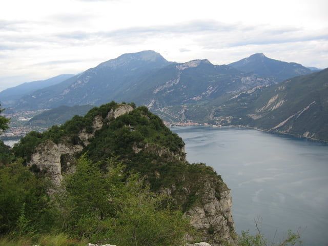

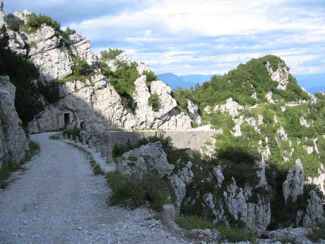
Sehr schöne Tour über die Teerstraße den Tremalzo hoch und über Schotter und tolle Trails wieder zurück zum Garda See. Der Anstieg ist technisch unproblematisch, beim Abstieg gibt es einige kurze, sehr schwierige Stellen die man aber auch problemlos schieben kann. Für echte Könner wahrscheinlich fahrbar. Der Rest ist auch für den Durchschnittsfahrer gut machbar.
Further information at
http://www.garda-gps.de/index.htmlTour gallery

Tour map and elevation profile
Minimum height 56 m
Maximum height 1840 m
More about the tour author
|
|
ThomasHeidelberg |
Comments
Eigentlich begann unsere Tour in Riva del Garda, aber da das Garmin Navi manchmal keinen Empfang hatte ist ein vollständig durchgehende Trackaufzeichnung nur ab dem Lago di Ledro vorhanden.
GPS tracks
Trackpoints-
GPX / Garmin Map Source (gpx) download
-
TCX / Garmin Training Center® (tcx) download
-
CRS / Garmin Training Center® (crs) download
-
Google Earth (kml) download
-
G7ToWin (g7t) download
-
TTQV (trk) download
-
Overlay (ovl) download
-
Fugawi (txt) download
-
Kompass (DAV) Track (tk) download
-
Track data sheet (pdf) download
-
Original file of the author (gpx) download
More about the tour author
|
|
ThomasHeidelberg |
Add to my favorites
Remove from my favorites
Edit tags
Open track
My score
Rate
tremalzopass
super tour.für mich absolutes neuland nach bisherigen
thüringerwaldtouren.
einfach geil