


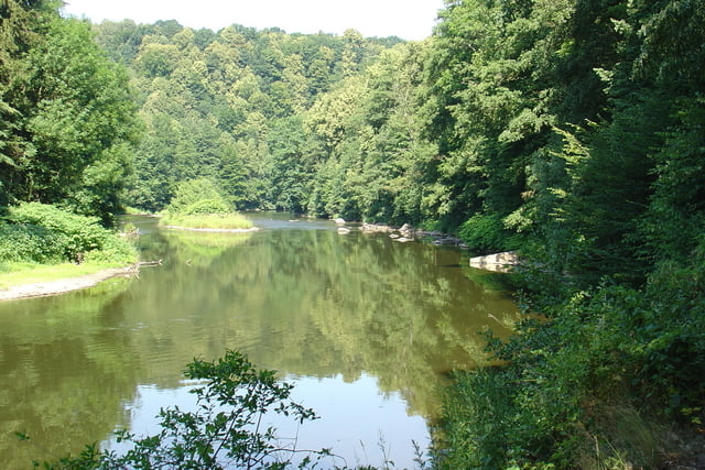
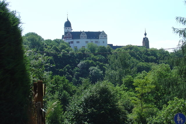
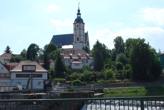
Landschaftliche schöne Tour teilweise am Muldental- Radweg entlang.
Folgende Orte wurden durchfahren: Chemnitz - Wittgensdorf - Burgstädt - Höllmühle - Rochsburg - Amerika - Penig - Wolkenburg - Waldenburg - Glauchau - Schlunzig - Zwickau.
Wir hatten eine erfahren ortskundigen Radwanderer dabei, der diese Tour größtenteils mit bestimmte. Meist gut befahrbare Wege und Nebenstraßen. In Glauchau war die Durchfahrt nicht ganz optimal, vielleicht eine andere Variante probieren.
Aufgezeichnet am 02.07.2008
Further information at
http://www.muldentalradweg.de/index_z.htmTour gallery
Tour map and elevation profile
Minimum height 201 m
Maximum height 395 m
More about the tour author
|
|
Poersi |
Comments

Bahnanschluß in Chemnitz und Zwickau
GPS tracks
Trackpoints-
GPX / Garmin Map Source (gpx) download
-
TCX / Garmin Training Center® (tcx) download
-
CRS / Garmin Training Center® (crs) download
-
Google Earth (kml) download
-
G7ToWin (g7t) download
-
TTQV (trk) download
-
Overlay (ovl) download
-
Fugawi (txt) download
-
Kompass (DAV) Track (tk) download
-
Track data sheet (pdf) download
-
Original file of the author (gpx) download
More about the tour author
|
|
Poersi |
Add to my favorites
Remove from my favorites
Edit tags
Open track
My score
Rate