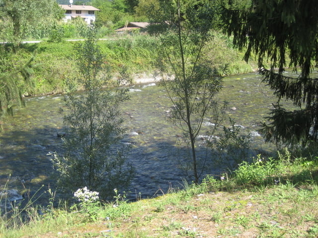
Login

Forgot your login?

Cookies have to be accepted!
Your browser's cookie functionality is disabled. Please enable this functionality.

Not a member yet?

Register now
Login

Available for registred users only

Log in to use this feature.

Forgot your login?

Cookies have to be accepted!
Your browser's cookie functionality is disabled. Please enable this functionality.

Not a member yet?

Register now
Filter
Categories
Advanced filters
  • Distance (km)
  • Height
Save filters Reset filter

TrackRank

QRCode

Technical data

Distance14,6 km Height373 m Way down370 m Duration02:00 h:m Date24.08.2008
Scores Author Landscape Fun factor Fitness Technique

Statistics

1331 Views Scores 231 Downloads Average
Rate
  • Track data sheet
  • Directions
  • Downloads

Kurz und knackig.


Vom Lago de Idro hoch nach Bandone übe einen alten Versorgungspfad.


2,3km 23% Steigung.


Wer sich quälen will, ab nach oben.


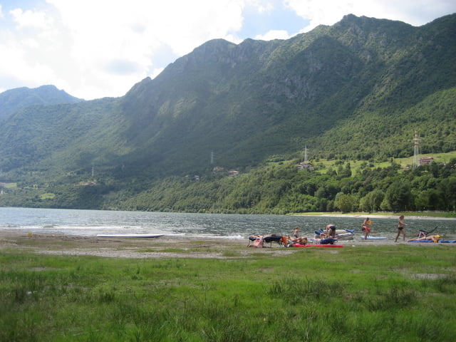
Wieder zurück kann man ein schönes Bad im See nehmen.
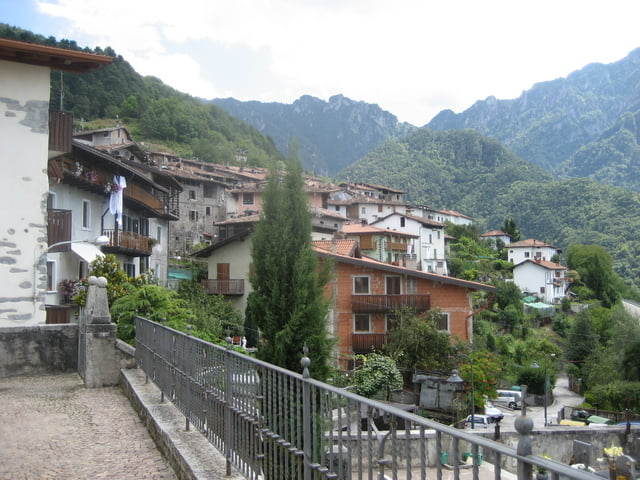
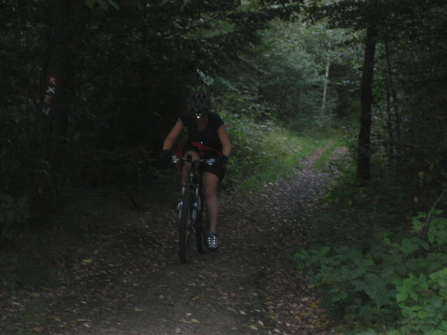
Tour gallery

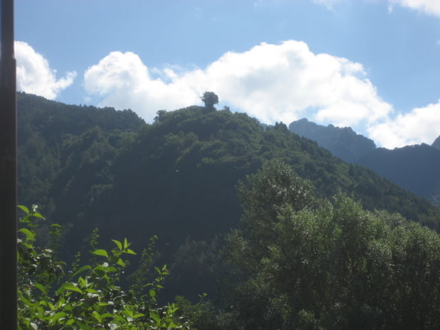
Tour map and elevation profile

  • Open Street Map
  • Google
Minimum height 369 m Maximum height 717 m Detailed view

More about the tour author

HitMan34
Member since 2008

Send private message

Comments

GPS tracks

Trackpoints
  • GPX / Garmin Map Source (gpx) download
  • TCX / Garmin Training Center® (tcx) download
  • CRS / Garmin Training Center® (crs) download
  • Google Earth (kml) download
  • G7ToWin (g7t) download
  • TTQV (trk) download
  • Overlay (ovl) download
  • Fugawi (txt) download
  • Kompass (DAV) Track (tk) download
  • Track data sheet (pdf) download
  • Original file of the author (gpx) download

More about the tour author

HitMan34
Member since 2008

Send private message
Share track
Add to my favorites
Remove from my favorites
Edit tags
My score
Rate
Track: Lago de Idro nach Bondone
Type: Mountain bike
Distance: 14,6 km
Evaluated on:
Duration:
Day(s)
Hour(s)
Minute(s)
Score: Landscape Fun factor Fitness Technique