


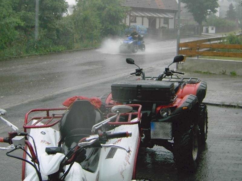
Unser Tourenguide Peter hat sich wieder eine kleine Tour in der Gegend um Schwabach ausgedacht. Unser Peter ist bekannt dafür, das er sich gern in die "Büsche schlägt". Was soviel zu bedeuten hat......er fährt gern abseits befestigter Straßen;-)
Wir sind jedoch immer darauf bedacht, so wenig wie möglich die Feldwege zu verlassen, aber immer gelingt uns das nicht. Manchmal huschen wir schon an einem "rot-weissen runden Schild" vorbei......nur wohin wir niemals unsere Stollenreifen setzen sind Naturschutzgebiete !
Bitte achtet ebenfalls auf eine unversehrte Natur und verursacht keine Flurschäden !
Interessante Punkte:
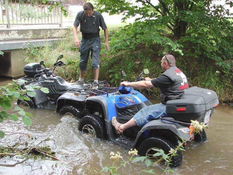
Die Furth in Gauchsdorf: N49 15.877 E11 00.205
Versteckte Sandgrube: N49 10.647 E10 58.330
Further information at
http://www.quadpirates.deTour gallery

Tour map and elevation profile
Minimum height 318 m
Maximum height 509 m
More about the tour author
|
|
Bruin |
Comments

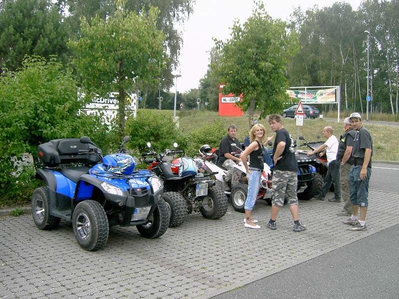
Startpunkt der heutigen Tour ist ein Fastfood Restaurant in unmittelbarer Nähe der Ausfahrt Schwabach Süd an der A6.
GPS tracks
Trackpoints-
GPX / Garmin Map Source (gpx) download
-
TCX / Garmin Training Center® (tcx) download
-
CRS / Garmin Training Center® (crs) download
-
Google Earth (kml) download
-
G7ToWin (g7t) download
-
TTQV (trk) download
-
Overlay (ovl) download
-
Fugawi (txt) download
-
Kompass (DAV) Track (tk) download
-
Track data sheet (pdf) download
-
Original file of the author (gpx) download
More about the tour author
|
|
Bruin |
Add to my favorites
Remove from my favorites
Edit tags
Open track
My score
Rate