
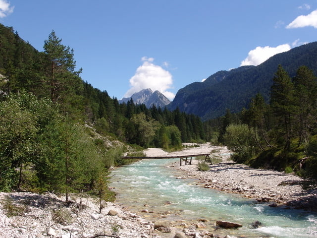

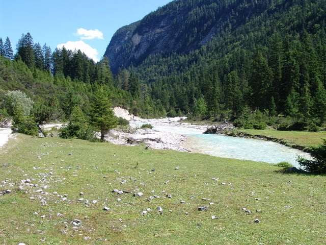
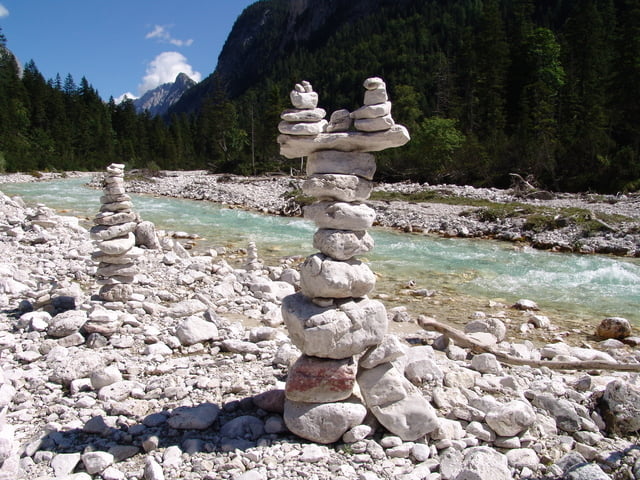
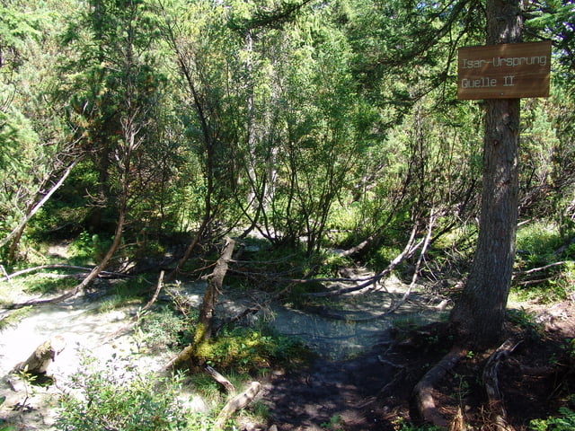
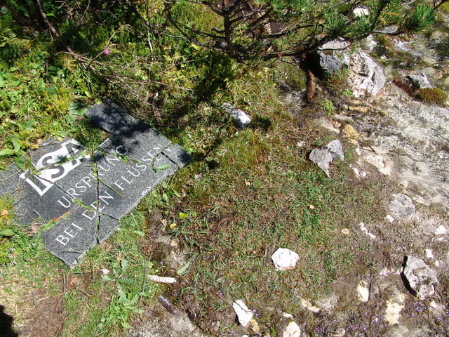
Landschaftliche sehr schöne Tour auf gut ausgebauten Forstwegen zum Isar-Ursprung. Lediglich 2 leichte Anstiege müßen überwunden werden. Dort angekommen findet man die beiden Quellen weit verzweigt vor.
Die Strecke ist gut ausgeschildert und kann ohne große Anstrengung befahren werden.
Der Weg führt auch noch weiter mit Einkehrmöglichkeit in der Kastenalm (ca. 3 Km).
Tour gallery
Tour map and elevation profile
Minimum height 963 m
Maximum height 1227 m
More about the tour author
|
|
Pointer |
Comments

Start von einer Pension in Scharnitz/Österreich (direkt an der Grenze zu Bayern)
GPS tracks
Trackpoints-
GPX / Garmin Map Source (gpx) download
-
TCX / Garmin Training Center® (tcx) download
-
CRS / Garmin Training Center® (crs) download
-
Google Earth (kml) download
-
G7ToWin (g7t) download
-
TTQV (trk) download
-
Overlay (ovl) download
-
Fugawi (txt) download
-
Kompass (DAV) Track (tk) download
-
Track data sheet (pdf) download
-
Original file of the author (gpx) download
More about the tour author
|
|
Pointer |
Add to my favorites
Remove from my favorites
Edit tags
Open track
My score
Rate