
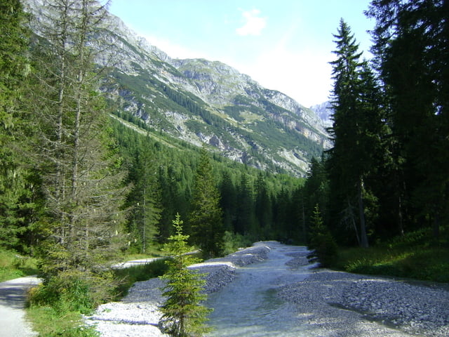

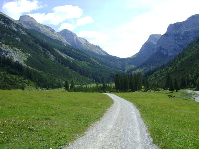
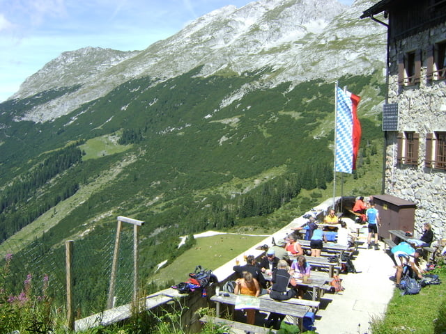
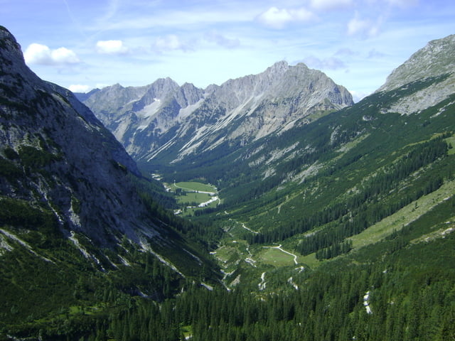
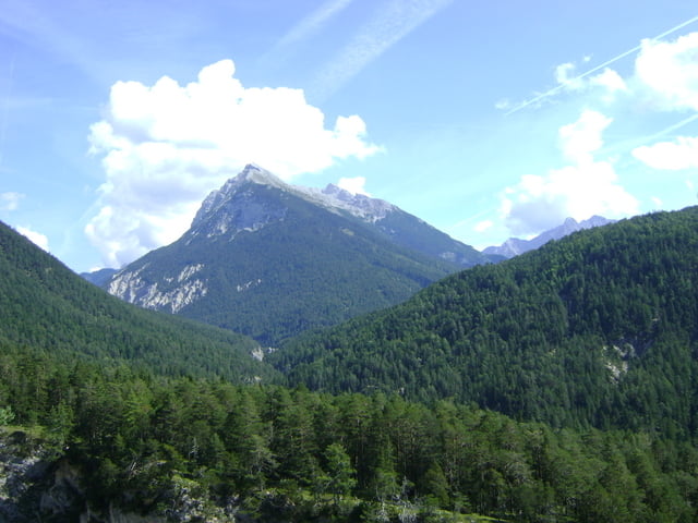
Von Scharnitz ins Karwendeltal und hoch zum Karwendelhaus. die Landschaft ist sehr reizvoll und der Anstieg zum Karwendelhaus ebenfalls.
Die letzten 5 km und die Serpentinen hochzufahren kostet jede Menge Kraft, viele haben ihr Bike hochgeschoben, da der Schotter-Anstieg es wirklich in sich hatte... So in der Mitte der Serpentinenauffahrt kommt links ein kleiner Brunnen zum Wasser tanken.
Endlich angekommen ist die Aussicht fantastisch. Diese Fahrt sollte man unbedingt machen, wenn man das Karwendeltal besucht.
Bei der Rückfahrt haben wir noch einen Abstecher nach Mittenwald gemacht zu Fahrrad Frank, Schaltung justieren... :)
Tour gallery
Tour map and elevation profile
Minimum height 908 m
Maximum height 1779 m
More about the tour author
|
|
Pointer |
Comments
Start von einer Pension in Scharnitz/Österreich (direkt an der Grenze zu Bayern)
GPS tracks
Trackpoints-
GPX / Garmin Map Source (gpx) download
-
TCX / Garmin Training Center® (tcx) download
-
CRS / Garmin Training Center® (crs) download
-
Google Earth (kml) download
-
G7ToWin (g7t) download
-
TTQV (trk) download
-
Overlay (ovl) download
-
Fugawi (txt) download
-
Kompass (DAV) Track (tk) download
-
Track data sheet (pdf) download
-
Original file of the author (gpx) download
More about the tour author
|
|
Pointer |
Add to my favorites
Remove from my favorites
Edit tags
Open track
My score
Rate
Abstecher zur Birkar sehr zu empfehlen, jedoch ziemlich anstrengend im Geröll.