Login

Forgot your login?

Cookies have to be accepted!
Your browser's cookie functionality is disabled. Please enable this functionality.

Not a member yet?

Register now
Login

Available for registred users only

Log in to use this feature.

Forgot your login?

Cookies have to be accepted!
Your browser's cookie functionality is disabled. Please enable this functionality.

Not a member yet?

Register now
Filter
Categories
Advanced filters
  • Distance (km)
  • Height
Save filters Reset filter

TrackRank

QRCode

Technical data

Distance27,2 km Height551 m Way down548 m Duration03:00 h:m Date30.08.2008
Scores Author User Landscape Fun factor Fitness Technique

Statistics

558 Views 1 Score 160 Downloads 5.00 Average
Rate
  • Track data sheet
  • Directions
  • Downloads


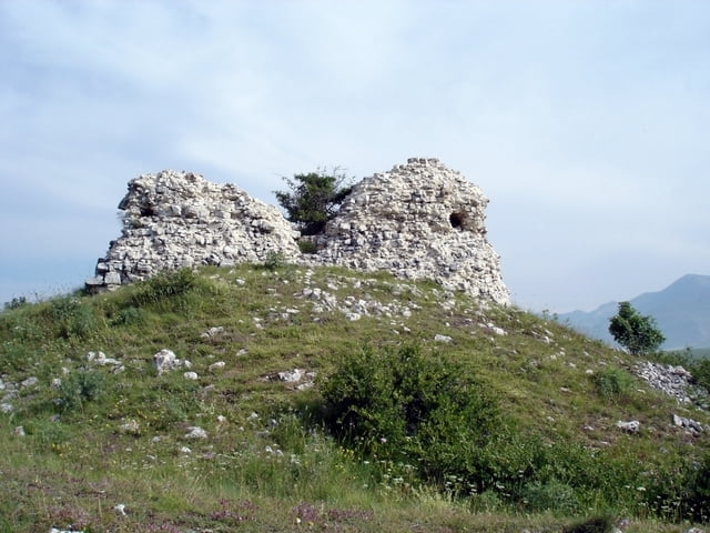
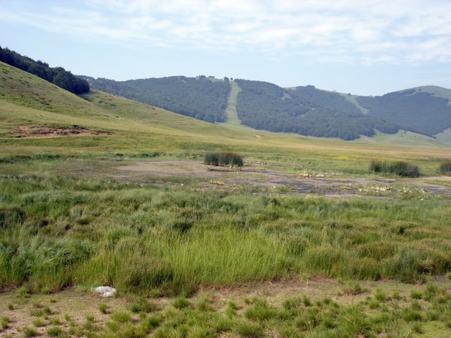
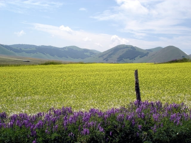
E’ un giro breve e facile che ci conduce nei luoghi più suggestivi dell’altopiano di Castelluccio di Norcia. Si attraversa per intero il Pian Piccolo e si sale per Forca Canepine, il Monte Pellicciara fino a Forca di Presta. Da quì si scende  per il Vallone, si costeggia il Casotto Amati e attraverso la Valle del Bonanno si ritorna al punto di partenza.

Further information at

http://www.sibillini-mtb.it

Tour gallery

Tour map and elevation profile

  • Open Street Map
  • Google
Minimum height 1281 m Maximum height 1694 m Detailed view

More about the tour author

barbonis
Member since 2008

Send private message

Comments

GPS tracks

Trackpoints
  • GPX / Garmin Map Source (gpx) download
  • TCX / Garmin Training Center® (tcx) download
  • CRS / Garmin Training Center® (crs) download
  • Google Earth (kml) download
  • G7ToWin (g7t) download
  • TTQV (trk) download
  • Overlay (ovl) download
  • Fugawi (txt) download
  • Kompass (DAV) Track (tk) download
  • Track data sheet (pdf) download
  • Original file of the author (gpx) download

More about the tour author

barbonis
Member since 2008

Send private message
Share track
Add to my favorites
Remove from my favorites
Edit tags
My score
Rate
Track: Pian Piccolo
Type: Mountain bike
Distance: 27,2 km
Evaluated on:
Duration:
Day(s)
Hour(s)
Minute(s)
Score: Landscape Fun factor Fitness Technique