Login

Forgot your login?

Cookies have to be accepted!
Your browser's cookie functionality is disabled. Please enable this functionality.

Not a member yet?

Register now
Login

Available for registred users only

Log in to use this feature.

Forgot your login?

Cookies have to be accepted!
Your browser's cookie functionality is disabled. Please enable this functionality.

Not a member yet?

Register now
Filter
Categories
Advanced filters
  • Distance (km)
  • Height
Save filters Reset filter

TrackRank

QRCode

Technical data

Distance30,4 km Height933 m Way down919 m Duration02:20 h:m Date30.08.2008
Scores Author Landscape Fun factor Fitness Technique

Statistics

305 Views Scores 110 Downloads Average
Rate
  • Track data sheet
  • Directions
  • Downloads

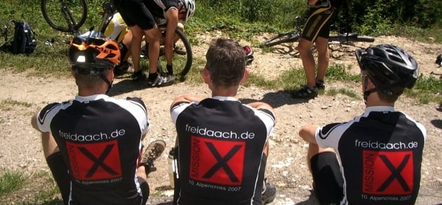
Auf den Spuren der Taunustrails:

Heute sind wir von Kelkheim über den Staufen nach Eppstein gefahren. Dort haben wir eine Runde mit vielen Trails um den Judenkopf gedreht. Zum gemütlichen Beisammensitzen mußten wir uns vom Lorsbachtal noch eimal zur Gundelhard hochquälen.

Tour map and elevation profile

  • Open Street Map
  • Google
Minimum height 151 m Maximum height 443 m Detailed view

More about the tour author

sonnysurf

Comments

GPS tracks

Trackpoints
  • GPX / Garmin Map Source (gpx) download
  • TCX / Garmin Training Center® (tcx) download
  • CRS / Garmin Training Center® (crs) download
  • Google Earth (kml) download
  • G7ToWin (g7t) download
  • TTQV (trk) download
  • Overlay (ovl) download
  • Fugawi (txt) download
  • Kompass (DAV) Track (tk) download
  • Track data sheet (pdf) download
  • Original file of the author (gpx) download

More about the tour author

sonnysurf

Share track
Add to my favorites
Remove from my favorites
Edit tags
My score
Rate
Track: Freidaach.de-Tour_080829
Type: Mountain bike
Distance: 30,4 km
Evaluated on:
Duration:
Day(s)
Hour(s)
Minute(s)
Score: Landscape Fun factor Fitness Technique