


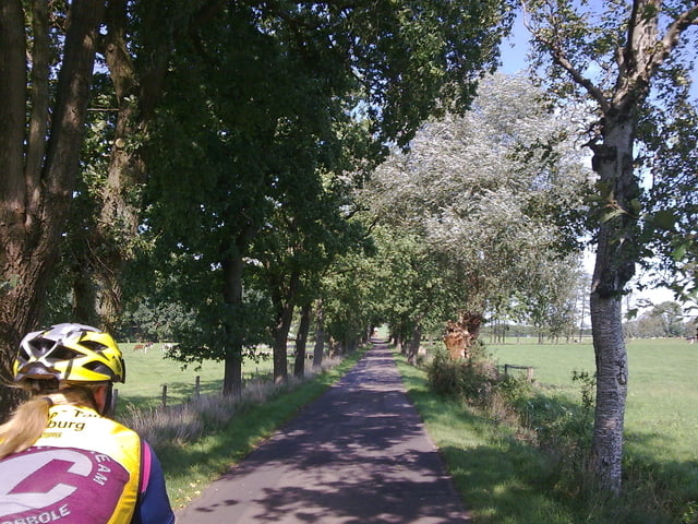
von lemsahl gehts durch das wittmoor zum tangstedter forst. weiter nach tangstedt und dann nach fahrenhorst. weiter zur naher furt und dann nach kayhude und zum gut stegen. an der alten alster entlang kommen wir nach nienwohld und dann gehts über den gräberkatener weg zum viertbrucher bagger see mit badeeinlage. weiter gehts zum gasthof waldesruhe mit spielplatz und streichelzoo für die kleinen. weiter gehts dann über den rader wald am rand vom duvenstedter entlang nach duvenstedt und dann nach lemsahl!
Further information at
http://www.hegibiketours.deTour gallery

Tour map and elevation profile
Minimum height 16 m
Maximum height 52 m
More about the tour author
|
|
hegi |
Comments

start in lemsahl, nähe gasthaus offen!
GPS tracks
Trackpoints-
GPX / Garmin Map Source (gpx) download
-
TCX / Garmin Training Center® (tcx) download
-
CRS / Garmin Training Center® (crs) download
-
Google Earth (kml) download
-
G7ToWin (g7t) download
-
TTQV (trk) download
-
Overlay (ovl) download
-
Fugawi (txt) download
-
Kompass (DAV) Track (tk) download
-
Track data sheet (pdf) download
-
Original file of the author (gpx) download
More about the tour author
|
|
hegi |
Add to my favorites
Remove from my favorites
Edit tags
Open track
My score
Rate