

De Tour start in de Commandeurstraat in mechelen.
Hierna gaan we linksaf de elzetterweg in bergop.
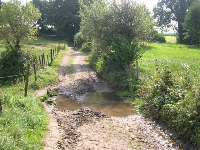
Daarna richting de beek die we oversteken.
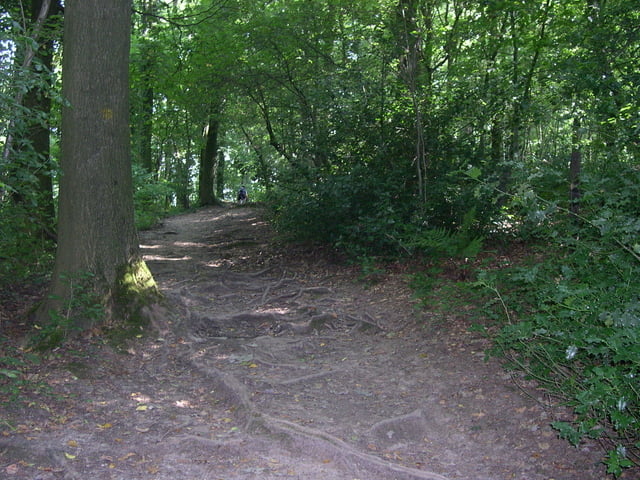
Daarna gaat de tocht door paden in het elzetter/vijlenerbos.
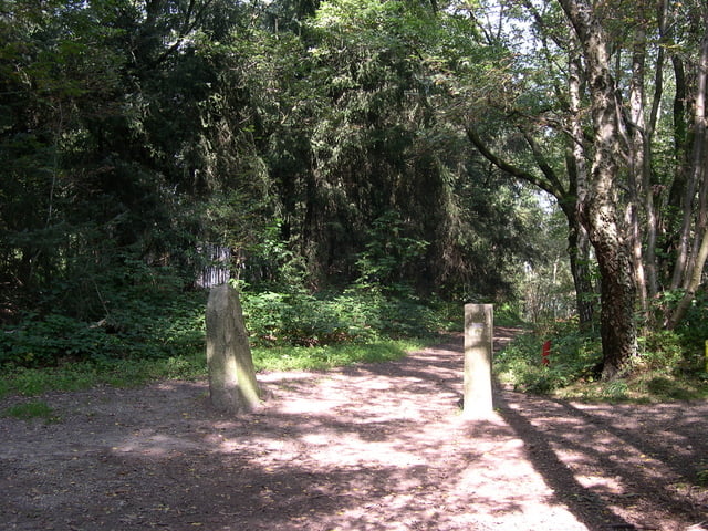
Naar de grens in Gemmenich/belgie en vandaar uit doormiddel van 2 pittige klimmen naar het 3 landenpunt.
Daar maken wij eerst een ronde om bij de zwaarste klim in de regio uit te komen!
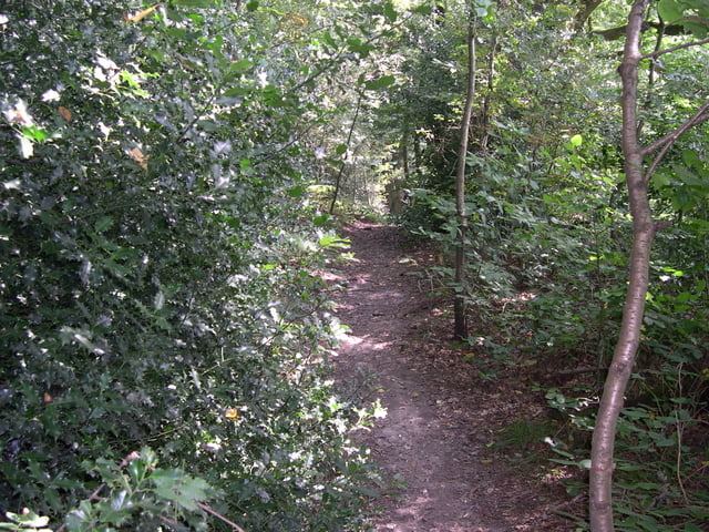
Hierna gaat de tocht verder over mooie paden en singletracks in het akenerbos en weer terug naar het 3 landenpunt,en vandaar weer door de bossen naar mechelen.
Er zit niet meer dan 10% asphalt in deze tocht.
The Tour starts in the commandeur street in Mechelen. Hereafter we go linksaf the elzetterweg in uphill. Afterwards direction the creek which we cross. Afterwards the excursion continues paths in the elzetter/vijlenerwood. To the border in Gemmenich/Belgium and hence of 2 spicy climb to 3 the country point. There we make a round firstly to end up at the heaviest klim in the region! Hereafter the excursion returns further concerning beautiful paths and singletracks in the akenerbos and to 3 the country point, and hence by the bunches to mechelen. There sits no longer than 10% tarmac in this excursion.
Die tour beginnt in der commandeur Straße in Mechelen. Nachher gehen wir links rein, der elzetterweg innen aufwärts. Danach Richtung der Nebenfluss, den wir kreuzen. Danach setzt die Exkursion Wege im elzetter/vijlenerwald fort. Zum Rand in Gemmenich/in Belgien und folglich 2 würzigen Aufstiegs bis 3 landeneck. Dort lassen wir einen Umlauf erstens am schwersten klim in der Region oben beenden! Nachher geht die Exkursion weiter hinsichtlich der schönen Wege und der singletracks in den aachenerwald und bis 3 der Landpunkt und durch die Bündel, um zurück folglich mechelen. Sitzt nicht mehr als der 10% Asphalt in dieser Exkursion.
Tour gallery
Tour map and elevation profile
Minimum height 107 m
Maximum height 395 m
More about the tour author
|
|
BertAusten |
Comments

Commandeurstraat 6281 AM Mechelen
Als er geen plaats is kan men parkeren t.o. de brandweerkazerne op de Spetsesweide (vakantiepark)
GPS tracks
Trackpoints-
GPX / Garmin Map Source (gpx) download
-
TCX / Garmin Training Center® (tcx) download
-
CRS / Garmin Training Center® (crs) download
-
Google Earth (kml) download
-
G7ToWin (g7t) download
-
TTQV (trk) download
-
Overlay (ovl) download
-
Fugawi (txt) download
-
Kompass (DAV) Track (tk) download
-
Track data sheet (pdf) download
-
Original file of the author (gpx) download
More about the tour author
|
|
BertAusten |
Add to my favorites
Remove from my favorites
Edit tags
Open track
My score
Rate