


Die Tour startet eigentlich im Bereich des Hotel Panhans, nur hatte ich übersehen, dass die Trackaufzeichnung deaktiviert war...Bis zum Trackstart geht es aber ohnedies nur auf der Asfaltstraße dahin, vorbei am Hotel Südbahn, einem einstigen Nobelhotel, das leer steht und langsam vor sich hin verrottet.
Über nette Trails nach Breitenstein und Abstecher zum sogen. 20-Schilling-Blick, einem Aussichtspunkt mit Blick auf die Bahnstrecke.
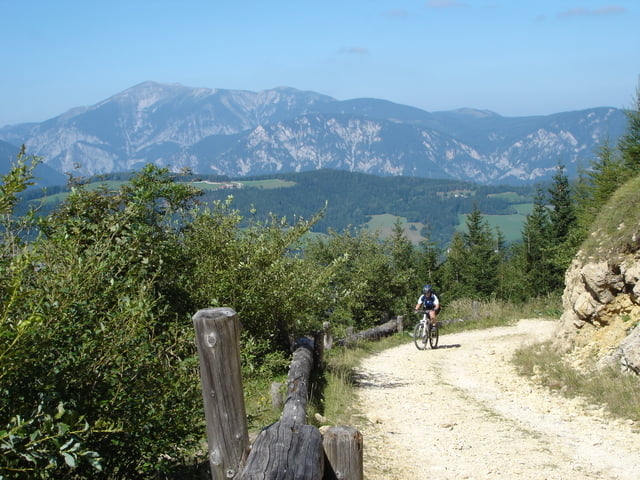
Auf die andere Talseite vorbei an einem guten Ausflugsgasthaus, hinunter ins Tal und über die Liechtensteinstr. (Forstraße) Richtung Pinkenkogel mit heftiger Schlussauffahrt zur Schutzhütte und Abfahrt zum Teil über schmale aber sehr flowige Trails (besonders auf Fußgeher aufpassen, am Wochenende zu sehr frequentiert).
Tour gallery
Tour map and elevation profile
Minimum height 734 m
Maximum height 1297 m
More about the tour author

|
NoDoc |
Comments

Semmering, Passhöhe (reichlichst Parkplätze) , rechts Richtung Hotel Panhans
GPS tracks
Trackpoints-
GPX / Garmin Map Source (gpx) download
-
TCX / Garmin Training Center® (tcx) download
-
CRS / Garmin Training Center® (crs) download
-
Google Earth (kml) download
-
G7ToWin (g7t) download
-
TTQV (trk) download
-
Overlay (ovl) download
-
Fugawi (txt) download
-
Kompass (DAV) Track (tk) download
-
Track data sheet (pdf) download
-
Original file of the author (gpx) download
More about the tour author
|
|
NoDoc |
Add to my favorites
Remove from my favorites
Edit tags
Open track
My score
Rate