


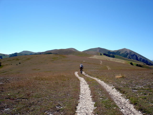
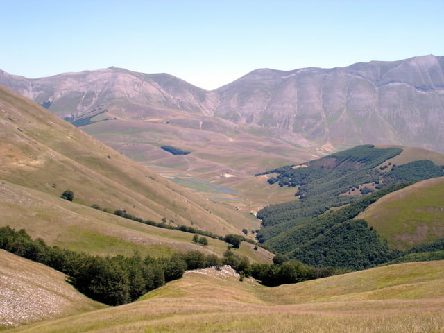
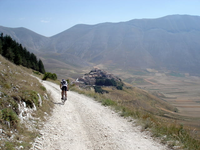
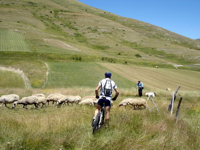
Dalla Valle di Rapegna una lunga sterrata ci porta senza troppa fatica ai piani di Cardosa e salendo ancora tra panoramici prati arriviamo fin quasi alla vetta del Monte delle Rose (bisogna scendere dalla bicicletta). La discesa è sul lato destro della Val Canatra fino a Castelluccio. Al valico di Gualdo, se non si è troppo stanchi, proponiamo una variante per la Fonte della Iumenta (la discesa per Vallinfante non è consigliabile), il Monte Prata con le sue piste da sci, e le sorgenti del Nera che si possono raggiungere facilmente con una strada che inizia poco dopo l’abitato di Gualdo.
Further information at
http://www.sibillini-mtb.itTour gallery
Tour map and elevation profile
Minimum height 618 m
Maximum height 1835 m
More about the tour author
|
|
barbonis |
Comments

GPS tracks
Trackpoints-
GPX / Garmin Map Source (gpx) download
-
TCX / Garmin Training Center® (tcx) download
-
CRS / Garmin Training Center® (crs) download
-
Google Earth (kml) download
-
G7ToWin (g7t) download
-
TTQV (trk) download
-
Overlay (ovl) download
-
Fugawi (txt) download
-
Kompass (DAV) Track (tk) download
-
Track data sheet (pdf) download
-
Original file of the author (gpx) download
More about the tour author
|
|
barbonis |
Add to my favorites
Remove from my favorites
Edit tags
Open track
My score
Rate