


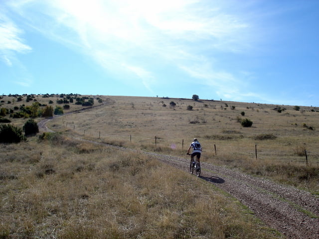
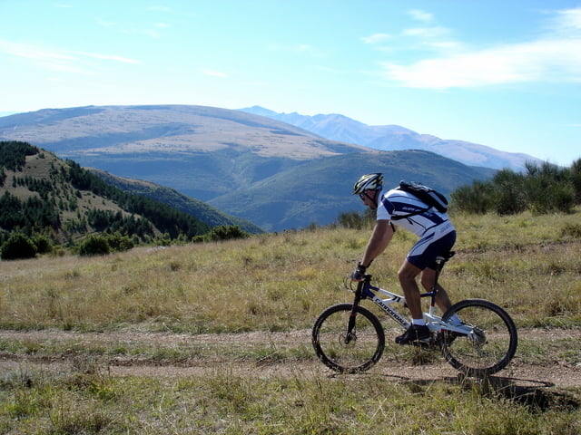
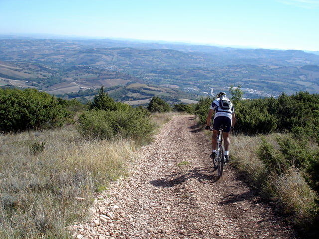
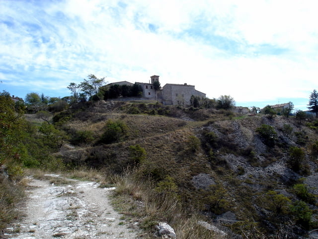
Si parte da Camerino e attraverso S.Gregorio e Torrone si arriva in località Villa d’Aria da dove inizia la salita sterrata per la sommità del monte Letegge. Con una facile e panoramica discesa si arriva a Borgianello da dove si ritorna verso Camerino passando per Statte e Letegge. A chi piace immergersi nella natura consigliamo la variante che abbiamo tracciato anche se obbliga a scendere dalla bicicletta per qualche centinaio di metri a causa della forte pendenza e del fondo sconnesso.
Further information at
http://www.sibillini-mtb.itTour gallery
Tour map and elevation profile
Minimum height 479 m
Maximum height 1016 m
More about the tour author
|
|
barbonis |
Comments

GPS tracks
Trackpoints-
GPX / Garmin Map Source (gpx) download
-
TCX / Garmin Training Center® (tcx) download
-
CRS / Garmin Training Center® (crs) download
-
Google Earth (kml) download
-
G7ToWin (g7t) download
-
TTQV (trk) download
-
Overlay (ovl) download
-
Fugawi (txt) download
-
Kompass (DAV) Track (tk) download
-
Track data sheet (pdf) download
-
Original file of the author (gpx) download
More about the tour author
|
|
barbonis |
Add to my favorites
Remove from my favorites
Edit tags
Open track
My score
Rate