


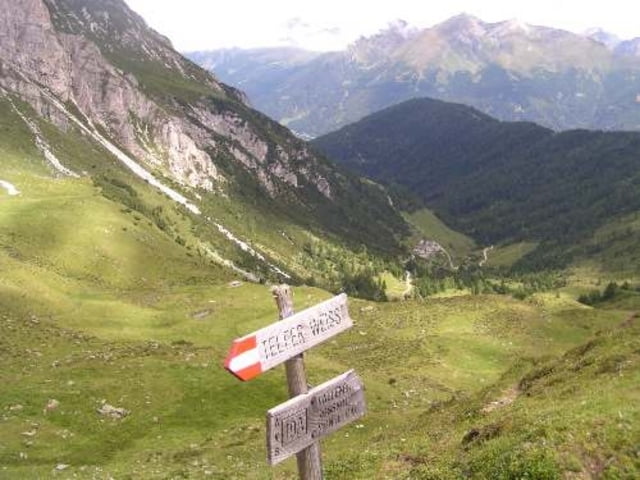
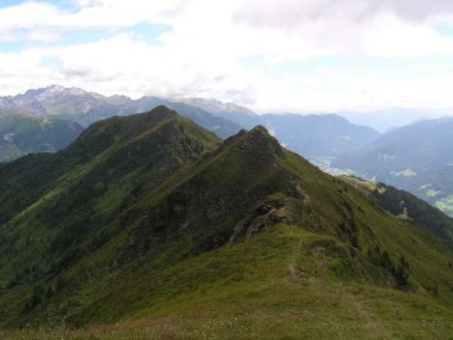
Vom Parkplatz Mareit / Burg Wolfsthun in Richtung der Ortschaft Mauer.Dann zur Freund Alm und steil zur Ochsenscharte.Ich wollte noch zum Roßkopf,aber das ist mir zu gefährlich.
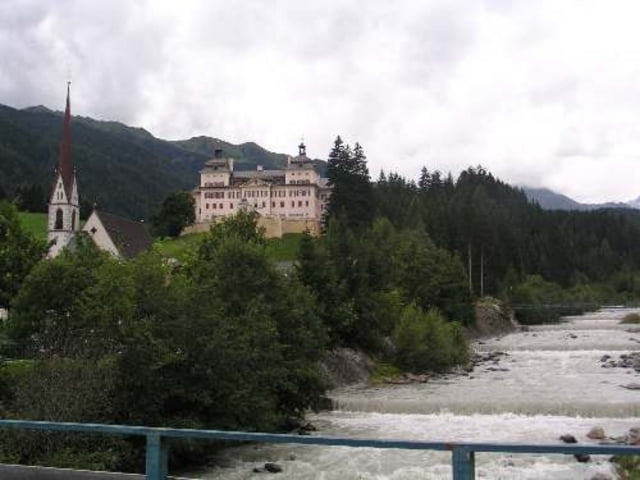
Auf dem Rückweg bin ich an der Kuhalm und Kaltenbrun längst gekommen.
Wer nicht über die Wiesen gehen möchte, bleibt auf der Straße bist Vögls zur Mühle.
Und geht die Straße bist Mareit.
Es war ein schöner Tag
Tour gallery
Tour map and elevation profile
Minimum height 1046 m
Maximum height 2178 m
More about the tour author
|
|
julianernst |
Comments

Von Sterzing in Richtung Stange und nach Mareit auf der 44
GPS tracks
Trackpoints-
GPX / Garmin Map Source (gpx) download
-
TCX / Garmin Training Center® (tcx) download
-
CRS / Garmin Training Center® (crs) download
-
Google Earth (kml) download
-
G7ToWin (g7t) download
-
TTQV (trk) download
-
Overlay (ovl) download
-
Fugawi (txt) download
-
Kompass (DAV) Track (tk) download
-
Track data sheet (pdf) download
-
Original file of the author (gpx) download
More about the tour author
|
|
julianernst |
Add to my favorites
Remove from my favorites
Edit tags
Open track
My score
Rate