Login

Forgot your login?

Cookies have to be accepted!
Your browser's cookie functionality is disabled. Please enable this functionality.

Not a member yet?

Register now
Login

Available for registred users only

Log in to use this feature.

Forgot your login?

Cookies have to be accepted!
Your browser's cookie functionality is disabled. Please enable this functionality.

Not a member yet?

Register now
Filter
Categories
Advanced filters
  • Distance (km)
  • Height
Save filters Reset filter

TrackRank

QRCode

Technical data

Distance67,0 km Height1644 m Way down1630 m Duration05:00 h:m Date05.09.2008
Scores Author Landscape Fun factor Fitness Technique

Statistics

1060 Views 1 Score 282 Downloads 5.00 Average
Rate
  • Track data sheet
  • Directions
  • Downloads

Rohthaarsteig Süd Dill-Westerwaldvariante.

Diesen Teil des Rothaarsteigs kann man, zum glück als Rundkurs fahren.

Er besteht größten Teils aus Wirtschaftwegen, Wiesenwegen und auch Singeltrails.

Sehr wenig Asphalt, eigentlich nur das Stück durch Dillenburg und ein paar kurze Ortsdurchfarten.


Deutscher Alpenverein Sektion Siegerland e.V. - MTB-Gruppe SI07


Tour gallery

Tour map and elevation profile

  • Open Street Map
  • Google
Minimum height 228 m Maximum height 655 m Detailed view

More about the tour author

Marzi
Member since 2008

Send private message

Comments

BM on 11.09.2008

Rothaarsteig Süd Dill-Westerwaldvariante

Ich bin die Tour auch schon mit dem MTB (Start Fuchskaute) gefahren. Ist sehr schön, aber es ist auch Kondition (nicht zu wenig) gefragt.

beste Grüße
Bertram
BM on 11.09.2008

Rothaarsteig Süd Dill-Westerwaldvariante

Ich bin die Tour auch schon mit dem MTB (Start Fuchskaute) gefahren. Ist sehr schön, aber es ist auch Kondition (nicht zu wenig) gefragt.

beste Grüße
Bertram
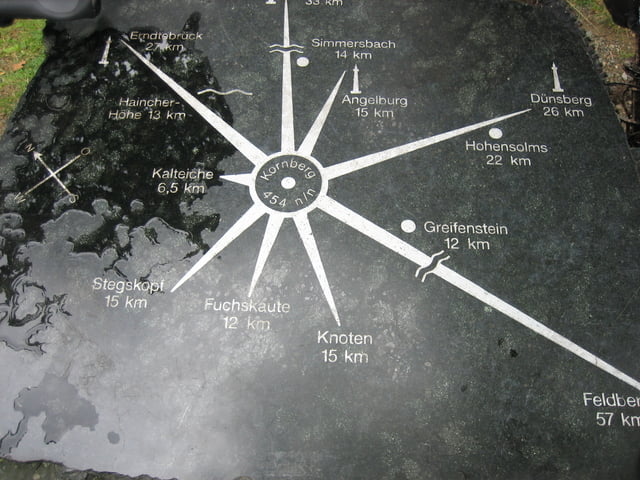
Am besten von der Haincherhöhe aus den Rothaarsteig entlang, gibt noch en paar Meter extra. :D

GPS tracks

Trackpoints
  • GPX / Garmin Map Source (gpx) download
  • TCX / Garmin Training Center® (tcx) download
  • CRS / Garmin Training Center® (crs) download
  • Google Earth (kml) download
  • G7ToWin (g7t) download
  • TTQV (trk) download
  • Overlay (ovl) download
  • Fugawi (txt) download
  • Kompass (DAV) Track (tk) download
  • Track data sheet (pdf) download
  • Original file of the author (gpx) download

More about the tour author

Marzi
Member since 2008

Send private message
Share track
Add to my favorites
Remove from my favorites
Edit tags
My score
Rate
Track: Rothaarsteig Süd Dill-Westerwaldvariante
Type: Mountain bike
Distance: 67,0 km
Evaluated on:
Duration:
Day(s)
Hour(s)
Minute(s)
Score: Landscape Fun factor Fitness Technique