
")

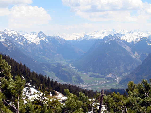
Waldwege, schmale Pfade, Steine, Wurzeln, steile Abschnitte und - heute, nach ergiebigem Regen: rutschiger und schmieriger Untergrund! Aber ein herrliches Lauferlebnis meist hoch über der Bezirksstadt. Ausgangspunkt: der Ortsteil "Obdorf" oder der "Hasensprung" in Bludenz/Nüziders, dann Richtung Seilbahn Talstation. Ein etwas schwer zu findender Schwenk zum Waldlehrpfad, diesen entlang zum Montikel (prähistorische Funde), Ferdinand-Gassner-Weg (so hat er zumindest früher geheißen) Richtung Rungelin, "Abstieg" bis fast zum "Val Blu", dann wieder aufwärts in zahlreichen Serpentinen und drüben (links!) hinunter zum Spital. Rest: Asphalt.
Further information at
http://www.heimbrauen.atTour gallery
Tour map and elevation profile
Minimum height 529 m
Maximum height 758 m
More about the tour author
|
|
schweizerkas |
Comments

A14, Ausfahrt Bludenz, zur Daneu-Brücke (620 m), Parken
GPS tracks
Trackpoints-
GPX / Garmin Map Source (gpx) download
-
TCX / Garmin Training Center® (tcx) download
-
CRS / Garmin Training Center® (crs) download
-
Google Earth (kml) download
-
G7ToWin (g7t) download
-
TTQV (trk) download
-
Overlay (ovl) download
-
Fugawi (txt) download
-
Kompass (DAV) Track (tk) download
-
Track data sheet (pdf) download
-
Original file of the author (g7t) download
More about the tour author
|
|
schweizerkas |
Add to my favorites
Remove from my favorites
Edit tags
Open track
My score
Rate