Login

Forgot your login?

Cookies have to be accepted!
Your browser's cookie functionality is disabled. Please enable this functionality.

Not a member yet?

Register now
Login

Available for registred users only

Log in to use this feature.

Forgot your login?

Cookies have to be accepted!
Your browser's cookie functionality is disabled. Please enable this functionality.

Not a member yet?

Register now
Filter
Categories
Advanced filters
  • Distance (km)
  • Height
Save filters Reset filter

TrackRank

QRCode

Technical data

Distance70,0 km Height2531 m Way down2869 m Duration00:00 h:m Date06.09.2008
Scores Author Landscape Fun factor Fitness Technique

Statistics

578 Views Scores 94 Downloads Average
Rate
  • Track data sheet
  • Directions
  • Downloads

Einleitung

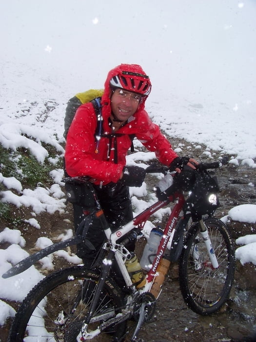
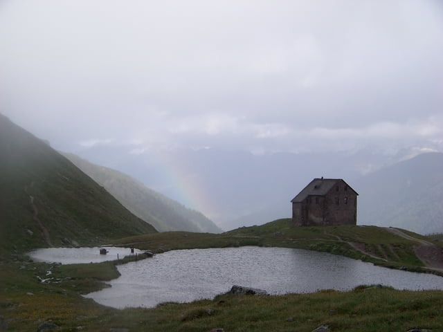
Die Etappe wurde gefahren am 14.07.2008 und ist Bestandteil eines Alpencrosses, der sich im wesentlichen an der Joe-Route orientiert hat.

Beschreibung der Etappe

Tour gallery

Tour map and elevation profile

  • Open Street Map
  • Google
Minimum height 1069 m Maximum height 2616 m Detailed view

More about the tour author

tloewenb
Member since 2003

Send private message

Comments

GPS tracks

Trackpoints
  • GPX / Garmin Map Source (gpx) download
  • TCX / Garmin Training Center® (tcx) download
  • CRS / Garmin Training Center® (crs) download
  • Google Earth (kml) download
  • G7ToWin (g7t) download
  • TTQV (trk) download
  • Overlay (ovl) download
  • Fugawi (txt) download
  • Kompass (DAV) Track (tk) download
  • Track data sheet (pdf) download
  • Original file of the author (gpx) download

More about the tour author

tloewenb
Member since 2003

Send private message
Share track
Add to my favorites
Remove from my favorites
Edit tags
My score
Rate
Track: Alpencross Etappe 3 Mathon bei Ischgl Malles im Vinschgau
Type: Transalp
Distance: 70,0 km
Evaluated on:
Duration:
Day(s)
Hour(s)
Minute(s)
Score: Landscape Fun factor Fitness Technique