Login

Forgot your login?

Cookies have to be accepted!
Your browser's cookie functionality is disabled. Please enable this functionality.

Not a member yet?

Register now
Login

Available for registred users only

Log in to use this feature.

Forgot your login?

Cookies have to be accepted!
Your browser's cookie functionality is disabled. Please enable this functionality.

Not a member yet?

Register now
Filter
Categories
Advanced filters
  • Distance (km)
  • Height
Save filters Reset filter

TrackRank

QRCode

Technical data

Distance14,3 km Height773 m Way down765 m Duration01:35 h:m Date15.09.2005
Scores Author Landscape Fun factor Fitness Technique

Statistics

1050 Views Scores 140 Downloads Average
Rate
  • Track data sheet
  • Directions
  • Downloads
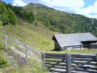
Schöne Tour mit wenig Wald und Super Panorama

Tour gallery

Tour map and elevation profile

  • Open Street Map
  • Google
Minimum height 1373 m Maximum height 2147 m Detailed view

More about the tour author

tomi
Member since 2005

Send private message

Comments

Von Innsbruck nach Matrei, nachdem Ort und der Autobahn Abfahrt rechts ins Navistal, bei der Siedlung Bacher links die Strasse hinauf (Schild "Siedlung Kerschbaum")nach 3 bzw 4 Kehren kommen ein paar Parkplätze.

GPS tracks

Trackpoints
  • GPX / Garmin Map Source (gpx) download
  • TCX / Garmin Training Center® (tcx) download
  • CRS / Garmin Training Center® (crs) download
  • Google Earth (kml) download
  • G7ToWin (g7t) download
  • TTQV (trk) download
  • Overlay (ovl) download
  • Fugawi (txt) download
  • Kompass (DAV) Track (tk) download
  • Track data sheet (pdf) download
  • Original file of the author (gpx) download

More about the tour author

tomi
Member since 2005

Send private message
Share track
Add to my favorites
Remove from my favorites
Edit tags
My score
Rate
Track: Mieslalm Strobl Alm
Type: Mountain bike
Distance: 14,3 km
Evaluated on:
Duration:
Day(s)
Hour(s)
Minute(s)
Score: Landscape Fun factor Fitness Technique