Login

Forgot your login?

Cookies have to be accepted!
Your browser's cookie functionality is disabled. Please enable this functionality.

Not a member yet?

Register now
Login

Available for registred users only

Log in to use this feature.

Forgot your login?

Cookies have to be accepted!
Your browser's cookie functionality is disabled. Please enable this functionality.

Not a member yet?

Register now
Filter
Categories
Advanced filters
  • Distance (km)
  • Height
Save filters Reset filter

TrackRank

QRCode

Technical data

Distance34,9 km Height718 m Way down777 m Duration02:00 h:m Date07.09.2008
Scores Author Landscape Fun factor Fitness Technique

Statistics

315 Views Scores 43 Downloads Average
Rate
  • Track data sheet
  • Directions
  • Downloads

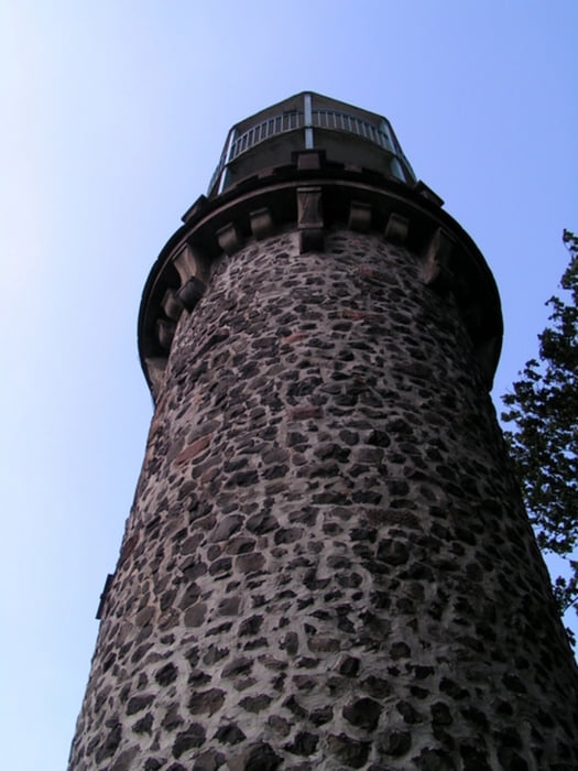
Tour von Eschenstruth mit einem Teil der Bilstein Marathon Runde.
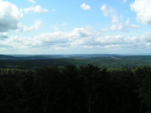
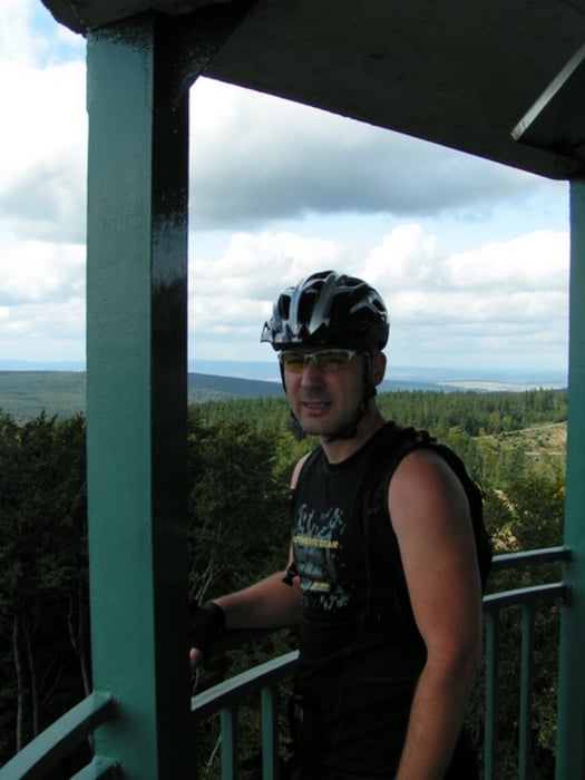
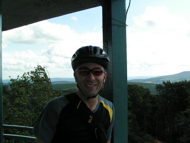
 

Tour gallery

Tour map and elevation profile

  • Open Street Map
  • Google
Minimum height 251 m Maximum height 650 m Detailed view

More about the tour author

HitMan34
Member since 2008

Send private message

Comments

elloco on 10.09.2008

was sind den das für hornochsen auf den fotos? ;)
elloco on 10.09.2008

ach, jetzt fällt es mir ein. das sind die gemütlichen freeride jungs!

GPS tracks

Trackpoints
  • GPX / Garmin Map Source (gpx) download
  • TCX / Garmin Training Center® (tcx) download
  • CRS / Garmin Training Center® (crs) download
  • Google Earth (kml) download
  • G7ToWin (g7t) download
  • TTQV (trk) download
  • Overlay (ovl) download
  • Fugawi (txt) download
  • Kompass (DAV) Track (tk) download
  • Track data sheet (pdf) download
  • Original file of the author (gpx) download

More about the tour author

HitMan34
Member since 2008

Send private message
Share track
Add to my favorites
Remove from my favorites
Edit tags
My score
Rate
Track: Eschenstruth (Helsa) Bilsteinturm-Runde
Type: Mountain bike
Distance: 34,9 km
Evaluated on:
Duration:
Day(s)
Hour(s)
Minute(s)
Score: Landscape Fun factor Fitness Technique