
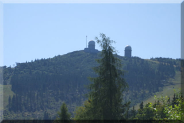

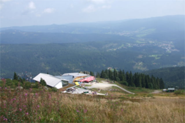
Am Böhmhof parken, Richtung "Altes Forsthaus" und den Radwanderweg 30 entlang. Dann die zweite linke Abzweigung Richtung Schönebene bis zum Parkplatz. Die Schönebenestr. hoch bis links der Radwanderweg Nr.30E anfängt, folgen bis zur ersten rechten Abiegung. Dem Weg folgen bis wir wieder auf der 30E sind, jetzt wieder links bis zur 30 dann kommen schon die Schilder zum Gr.ArberEs sind alles gut ausgebaute Schotterwege.30.5km lang Ca. 850Hm hoch, die letzten 3km sind mit ca.12 bis 15% Steigung schon heftig.
Further information at
http://www.duisburger-biker.de/Tour gallery
Tour map and elevation profile
Minimum height 691 m
Maximum height 1452 m
More about the tour author
|
|
Uwe.n |
Comments
GPS tracks
Trackpoints-
GPX / Garmin Map Source (gpx) download
-
TCX / Garmin Training Center® (tcx) download
-
CRS / Garmin Training Center® (crs) download
-
Google Earth (kml) download
-
G7ToWin (g7t) download
-
TTQV (trk) download
-
Overlay (ovl) download
-
Fugawi (txt) download
-
Kompass (DAV) Track (tk) download
-
Track data sheet (pdf) download
-
Original file of the author (gpx) download
More about the tour author
|
|
Uwe.n |
Add to my favorites
Remove from my favorites
Edit tags
Open track
My score
Rate
da hast du recht
Gruß