


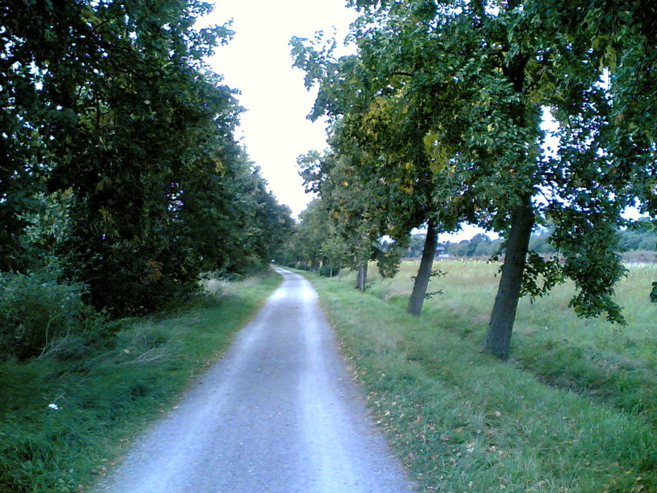
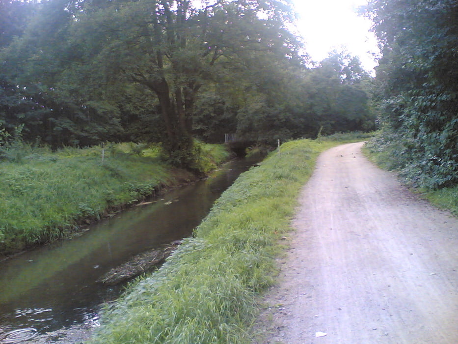
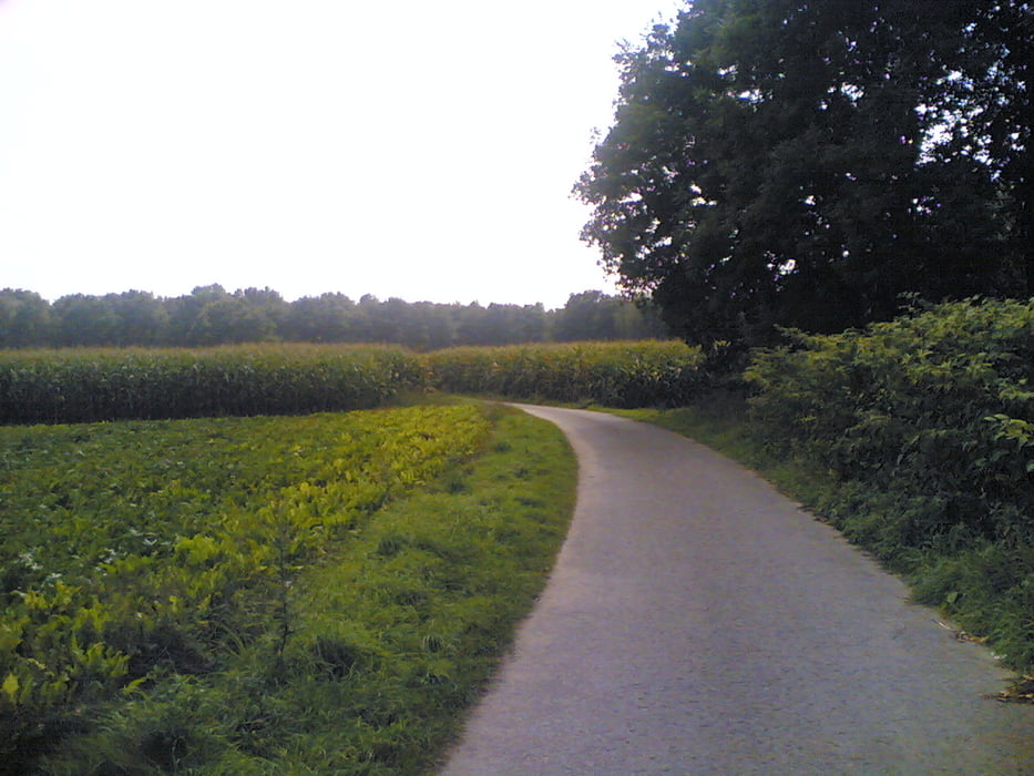
Die richtige Tour für alle die in Hannovers Norden ohne viel Aufwand eine kleine aber feine Runde drehen wollen. Je nach Zeit, Lust und Kondition kann sie verkürzt, aber auch deutlich verlängert werden. Das wichtigste ist, einigermaßen verkehrsgünstig und ästhetisch aus dem Stadtbereich zu kommen und wieder zurück. Dazu bietet die Runde zwei Möglichkeiten an. Alles in allem verbringst Du dann die Hälfte der Tour in wirklich freiem Feld, Wald und Heideland. Vorbei geht es an fünf Badeseen und einem Freibad, der Galopprennbahn und unzähligen Pferdekoppeln. Wer sich gerne alte Villen und Vorstädte ansieht, kommt gut auf seine Kosten. Zudem geht es noch ein kleines Stück am Mittellandkanal entlang: Also von allem etwas und das bei straffem Tempo in etwas mehr als einer Stunde. Viel Spaß!!!
Tour gallery
Tour map and elevation profile
Minimum height 52 m
Maximum height 78 m
More about the tour author
|
|
Telebike |
Comments

Einfach hinter dem Spannhagengarten (Hannover / Podbielskistr-Stormstr.) losdüsen Richtung Mittellandkanal ...
GPS tracks
Trackpoints-
GPX / Garmin Map Source (gpx) download
-
TCX / Garmin Training Center® (tcx) download
-
CRS / Garmin Training Center® (crs) download
-
Google Earth (kml) download
-
G7ToWin (g7t) download
-
TTQV (trk) download
-
Overlay (ovl) download
-
Fugawi (txt) download
-
Kompass (DAV) Track (tk) download
-
Track data sheet (pdf) download
-
Original file of the author (gpx) download
More about the tour author
|
|
Telebike |
Add to my favorites
Remove from my favorites
Edit tags
Open track
My score
Rate