

Deze tocht begint in de Commandeurstraat te Mechelen.
Hierna rijden we rechtdoor de Bommerigerweg op tot bij pension de Hamer in Bommerig war we links gaan.
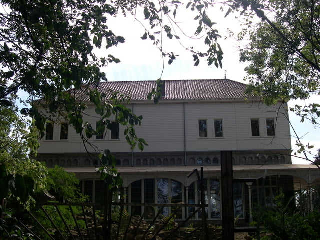
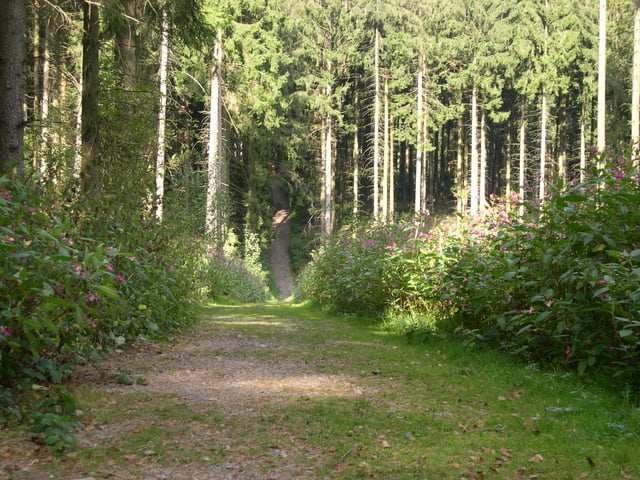
Dan voert de tocht omhoog richting het elzetterbos waarbij we in het begin van het pad het voormalige gesticht "Het Emmhaus" passeren.
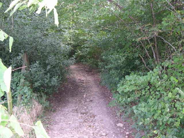
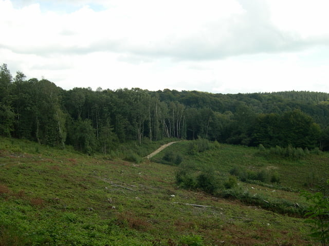
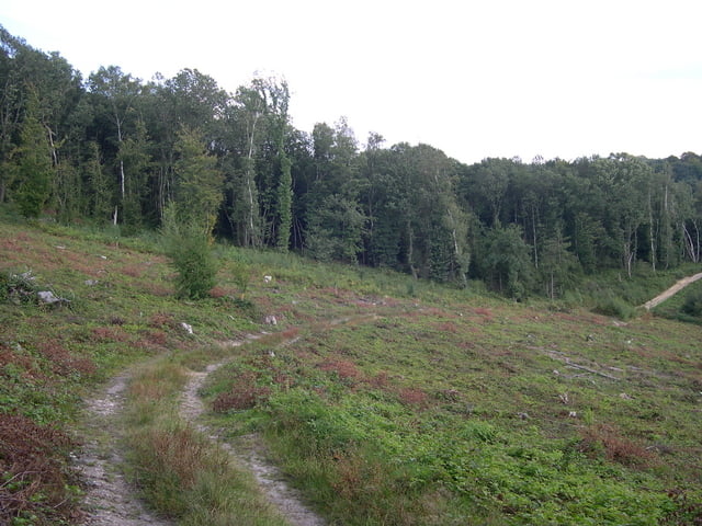
Daarna gaat de tocht het vijlenerbos in tot bij het belgische plaatsje Gemmenich waar we richting 3 landenpunt gaan,echter buigen wij af en komen op de weg van gemmenich naar het 3 landenpunt uit via een schtterend pad met mooi uitzicht.
Daarna krijgen we zeer mooie singletrails met als hoogtepunt de allermooiste singletrail uit deze regio langs het spoor van Gemmenich.
Hierna gaat de tocht verder door het akenerbos,waarbij we nog veel mooie paden en trails tegenkomen,om vervolgens op het 3 landenpunt uit te komen,waarna de tocht zich via mooie paden terug slingert door het vijlener en elzetterbos,waarbij we ook nog langs het boscafe "Het Hijgend Hert" komen.
rode waypoints heenweg - blauwe waypoints de terugweg
This tour starts in the commandeur street at Mechelen. Here after we biking to the Bommerigerweg to at boarding house the hammer in Bommerig war we left go. Then the tour conducts omhoog direction the elzetterbos where we at the beginning of the path the former hospice " The Emmhaus" to pass. Afterwards the excursion enters the vijlenerwood to at the Belgian plaatsje Gemmenich where we direction 3 country point goes, however branches off we and ends up on the way of gemmenich to 3 the country point by means of a schtterend path with beautiful view. Afterwards we get very beautiful singletrails with as peak the most beautiful singletrail from this region along the track of Gemmenich. Hereafter the excursion goes further by the akenerbos, where we encounter still much beautiful paths and trails, to return on 3 country point, where upon the tour swings himself by means of beautiful paths by the vijlener and elzetterbos, where we also still along the bunch bar " The panting Hert" to come.
red waypoints the first part of the tour - bleu waypoints backway of the tour
Dieser tour beginnt in der commandeur Straße bei Mechelen. Hier, nachdem wir zum Bommerigerweg an zum Einstieghaus den Hammer im Bommerig radfahrend, . Dann leitet die tour Richtung die elzetterwald wo wir zu Beginn des Weges das ehemalige Pflegeheim " Das Emmhaus" zu überschreiten. Danach trägt die tour durch das vijlenerwald an zum belgischen plaatsje Gemmenich ein, wohin wir Landpunkt der Richtung 3 gehen, gleichwohl Niederlassungen weg wir und oben auf der Weise von gemmenich bis 3 den Landpunkt mittels eines schtterend Weges mit schöner Ansicht beendet. Danach erhalten wir sehr schönen singletrails mit als Spitze das schönste singletrail von dieser Region entlang der Schiene von Gemmenich. Nachher geht die tour weiter durch den aachenerwald, in denen wir noch viel schöne Wege und Spuren antreffen, im Punkt mit 3 Ländern zurückzugehen, wohin nach die tour sich schwingt mittels der schönen Wege durch das vijlener und die elzetterbos, wohin wir auch noch entlang dem Bündelstab " Das Keuchen Hert" zu kommen.
rote waypoints erste helfte der tour - blauwe waypoints die zuruckfahrt.
Tour gallery
Tour map and elevation profile
Minimum height 102 m
Maximum height 342 m
More about the tour author
|
|
BertAusten |
Comments
Commandeurstraat 6281 AM Mechelen
GPS tracks
Trackpoints-
GPX / Garmin Map Source (gpx) download
-
TCX / Garmin Training Center® (tcx) download
-
CRS / Garmin Training Center® (crs) download
-
Google Earth (kml) download
-
G7ToWin (g7t) download
-
TTQV (trk) download
-
Overlay (ovl) download
-
Fugawi (txt) download
-
Kompass (DAV) Track (tk) download
-
Track data sheet (pdf) download
-
Original file of the author (gpx) download
More about the tour author
|
|
BertAusten |
Add to my favorites
Remove from my favorites
Edit tags
Open track
My score
Rate
Tour 22924
Een schitterende tocht.
Ben helaas 1x hard gevallen en daarbij, naast de nodige blauwe plekken en schrammen, de voorrem-kabel gebroken. De rest van de tocht een beetje rustig moeten afdalen i.v.m. beperkte remcapaciteit.
Dit is gebeurd op het stuk langs het spoor, waar een stukje van 70-80 graden helling inzit. Hier ben ik van het zadel gegleden.
Je had me nog gewaarschuwd....
Hoogtemeters via barometrische meting (en die is toch wel heel nauwkeurig bij de Garmin 60CSX: 1000 hm.
Groetjes,
Louis Leunissen
Eys
Toen ik las dat je gevallen was,wist ik al waar...is mooi stuk maar trickie...beterschap...heb griep gehad eens in weekend weer aan de gang.
Groeten
Bert