


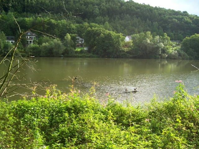
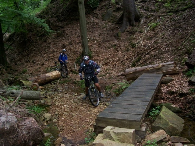
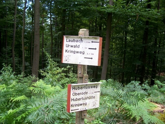
In der einer BIKE Zeitung aus dem Jahr 2003 gab es mal Tourenbeschreibungen an der Autobahn A7. Eine davon wurde "Kleine Fluchten" genannt. Wir sind diese Tour mal abgefahren, haben sie aber noch erweitert. Die Tour führt in der Originalversion an dem Ausflugslokal "Rinderstall" vorbei. Wir haben aber die Autobahn unterquert, am Rinderstall gerastet und sind danach zur Grundmühle gefahren, um das Laubachtal von unten nach oben zu erklettern. Das ist ein absolutes Muss, wenn man schon mal in der Gegend ist! <p>Downloadseite: http://www.bike-magazin.de/?p=941 <p>Das PDF-Dokument zur Tour: http://content.delius-klasing.de/interfaces/payment/?id=1134
Further information at
http://content.delius-klasing.de/interfaces/payment/?id=1134Tour gallery
Tour map and elevation profile
Minimum height 126 m
Maximum height 438 m
More about the tour author
|
|
derpeter |
Comments

GPS tracks
Trackpoints-
GPX / Garmin Map Source (gpx) download
-
TCX / Garmin Training Center® (tcx) download
-
CRS / Garmin Training Center® (crs) download
-
Google Earth (kml) download
-
G7ToWin (g7t) download
-
TTQV (trk) download
-
Overlay (ovl) download
-
Fugawi (txt) download
-
Kompass (DAV) Track (tk) download
-
Track data sheet (pdf) download
-
Original file of the author (gpx) download
More about the tour author
|
|
derpeter |
Add to my favorites
Remove from my favorites
Edit tags
Open track
My score
Rate