Login

Forgot your login?

Cookies have to be accepted!
Your browser's cookie functionality is disabled. Please enable this functionality.

Not a member yet?

Register now
Login

Available for registred users only

Log in to use this feature.

Forgot your login?

Cookies have to be accepted!
Your browser's cookie functionality is disabled. Please enable this functionality.

Not a member yet?

Register now
Filter
Categories
Advanced filters
  • Distance (km)
  • Height
Save filters Reset filter

TrackRank

QRCode

Technical data

Distance6,7 km Height133 m Way down12 m Duration00:30 h:m Date10.09.2008
Scores Author Landscape Fun factor Fitness Technique

Statistics

199 Views Scores 37 Downloads Average
Rate
  • Track data sheet
  • Directions
  • Downloads

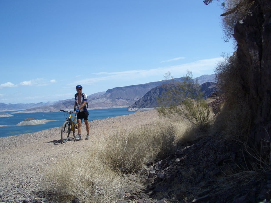
Auf stillgelegter Eisenbahnstrecke durch mehrere Tunnels mit Panoramablicken auf den See.

Unbedingt fahren. Am Ausgang Trail runter zum Hoover-Staudamm, endet dort im Parkhaus.

Tour map and elevation profile

  • Open Street Map
  • Google
Minimum height 383 m Maximum height 510 m Detailed view

More about the tour author

rad05
Member since 2008

Send private message

Comments

Vom Highway  Las Vegas- Hoover Damm nach Boulder links ab. Dort gleich Visitorcenter mit Parkplatz und Schilder.

GPS tracks

Trackpoints
  • GPX / Garmin Map Source (gpx) download
  • TCX / Garmin Training Center® (tcx) download
  • CRS / Garmin Training Center® (crs) download
  • Google Earth (kml) download
  • G7ToWin (g7t) download
  • TTQV (trk) download
  • Overlay (ovl) download
  • Fugawi (txt) download
  • Kompass (DAV) Track (tk) download
  • Track data sheet (pdf) download
  • Original file of the author (gpx) download

More about the tour author

rad05
Member since 2008

Send private message
Share track
Add to my favorites
Remove from my favorites
Edit tags
My score
Rate
Track: Railroad Trail
Type: Mountain bike
Distance: 6,7 km
Evaluated on:
Duration:
Day(s)
Hour(s)
Minute(s)
Score: Landscape Fun factor Fitness Technique