Login

Forgot your login?

Cookies have to be accepted!
Your browser's cookie functionality is disabled. Please enable this functionality.

Not a member yet?

Register now
Login

Available for registred users only

Log in to use this feature.

Forgot your login?

Cookies have to be accepted!
Your browser's cookie functionality is disabled. Please enable this functionality.

Not a member yet?

Register now
Filter
Categories
Advanced filters
  • Distance (km)
  • Height
Save filters Reset filter

TrackRank

QRCode

Technical data

Distance45,8 km Height1395 m Way down1385 m Duration00:00 h:m Date20.09.2005
Scores Author Landscape Fun factor Fitness Technique

Statistics

3313 Views 1 Score 708 Downloads 3.00 Average
Rate
  • Track data sheet
  • Directions
  • Downloads
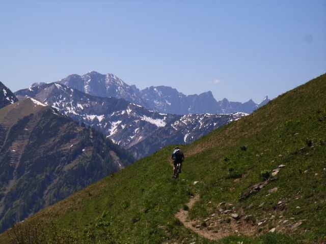
Von Achenkirch über den Gröbner Hals und den Schleimsattel nach Pertisau. Auf dem Radweg am Achensee entlang zurück.

Tour gallery

Tour map and elevation profile

  • Open Street Map
  • Google
Minimum height 929 m Maximum height 1656 m Detailed view

More about the tour author

hd

Comments

Heinz on 28.08.2007

Gröbner Hals

Bin die Tour heute gefahren. Es ist eine super Tour, landschaftlich ein echtes Erlebnis. Allerdings sind einige Schiebestücke dabei, die mich aber nicht sehr gestört haben. Der Track stimmt auf den Meter genau.
nomodo on 11.07.2016

Gröbner Hals

Die Tour ist eher etwas für Liebhaber von "bike and hike". Vor allem die Schiebestrecke durch die Alm, nach der ersten Spitze ist schon sehr speziell, möchte nicht wissen wie es dort nach 4 Wochen Dauerregen aussähe.

GPS tracks

Trackpoints
  • GPX / Garmin Map Source (gpx) download
  • TCX / Garmin Training Center® (tcx) download
  • CRS / Garmin Training Center® (crs) download
  • Google Earth (kml) download
  • G7ToWin (g7t) download
  • TTQV (trk) download
  • Overlay (ovl) download
  • Fugawi (txt) download
  • Kompass (DAV) Track (tk) download
  • Track data sheet (pdf) download
  • Original file of the author (g7t) download

More about the tour author

hd

Share track
Add to my favorites
Remove from my favorites
Edit tags
My score
Rate
Track: Gröbner Hals
Type: Mountain bike
Distance: 45,8 km
Evaluated on:
Duration:
Day(s)
Hour(s)
Minute(s)
Score: Landscape Fun factor Fitness Technique