

Good track for wet weather. more asphalt than normal for me.
You start with a steep cilb on asfhalt.
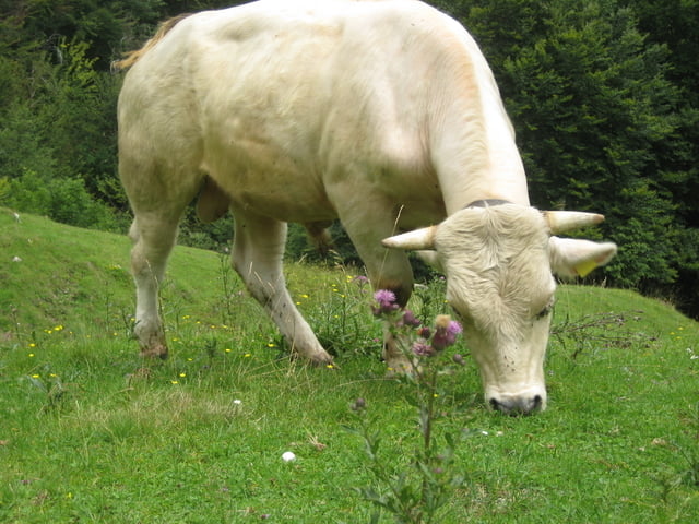
Last 2 km before the top a old roman road an your left. Heavy and technical but to do when it not rains to much. At the end a little throug the alps. if you are lucky between the cows.
last part throug a small mountain village named male . There is at the end a restaurant with a good vieuw.
Back along the local swimmingpool and a part off-road to porlezza.
Tour map and elevation profile
Minimum height 280 m
Maximum height 1191 m
More about the tour author
|
|
MarkTwente |
Comments

GPS tracks
Trackpoints-
GPX / Garmin Map Source (gpx) download
-
TCX / Garmin Training Center® (tcx) download
-
CRS / Garmin Training Center® (crs) download
-
Google Earth (kml) download
-
G7ToWin (g7t) download
-
TTQV (trk) download
-
Overlay (ovl) download
-
Fugawi (txt) download
-
Kompass (DAV) Track (tk) download
-
Track data sheet (pdf) download
-
Original file of the author (gpx) download
More about the tour author
|
|
MarkTwente |
Add to my favorites
Remove from my favorites
Edit tags
Open track
My score
Rate