


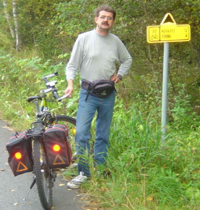
Kvilda - Horni Vltavice - Ceske Zleby - Stozec - Cerny Kriz
Tour gallery
Tour map and elevation profile
Minimum height 749 m
Maximum height 1065 m
More about the tour author

|
Comments

Öffentliche Verkehrsmittel:
Finsteraubus bis Buchwald Grenze (Fahrradmitnahme möglich - fährt nicht das ganze Jahr!) - Grenzüberschreitung nach Bucina - dann hinunter nach Kvilda
Finsteraubus bis Buchwald Grenze (Fahrradmitnahme möglich - fährt nicht das ganze Jahr!) - Grenzüberschreitung nach Bucina - dann hinunter nach Kvilda
GPS tracks
Trackpoints-
GPX / Garmin Map Source (gpx) download
-
TCX / Garmin Training Center® (tcx) download
-
CRS / Garmin Training Center® (crs) download
-
Google Earth (kml) download
-
G7ToWin (g7t) download
-
TTQV (trk) download
-
Overlay (ovl) download
-
Fugawi (txt) download
-
Kompass (DAV) Track (tk) download
-
Track data sheet (pdf) download
More about the tour author
|
|
Add to my favorites
Remove from my favorites
Edit tags
Open track
My score
Rate