Login

Forgot your login?

Cookies have to be accepted!
Your browser's cookie functionality is disabled. Please enable this functionality.

Not a member yet?

Register now
Login

Available for registred users only

Log in to use this feature.

Forgot your login?

Cookies have to be accepted!
Your browser's cookie functionality is disabled. Please enable this functionality.

Not a member yet?

Register now
Filter
Categories
Advanced filters
  • Distance (km)
  • Height
Save filters Reset filter

TrackRank

QRCode

Technical data

Distance463,8 km Height11598 m Way down12233 m Duration1 day 11 h Date28.09.2005
Scores Author User Landscape Fun factor Fitness Technique

Statistics

37701 Views 6 Scores 5400 Downloads 3.83 Average
Rate
  • Track data sheet
  • Directions
  • Downloads
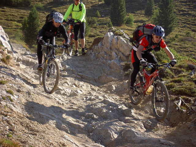
Von Garmisch nach Riva mit Andreas Albrecht näheres siehe auch unter http://www.transalp.info
oder bei Elmar Nessler unter http://www.faszination-alpen.de/
Er war auch mit dabei!

Further information at

http://www.transalp.info

Tour gallery

Tour map and elevation profile

  • Open Street Map
  • Google
Minimum height 71 m Maximum height 2819 m Detailed view

More about the tour author

winklem
Member since 2005

Send private message

Comments

Andreas Albrecht on 14.01.2006

Albrecht-Route

Diese GPS-Daten entsprechen nicht exakt meiner Route, wie ich sie im September 2004 gefahren bin. Aufgrund der Unwetter im Sommer 2005 in Tirol sind wir zwischen Landeck und Scoul nicht über Heilbronner Hütte und Fimberpass gefahren, sondern über Reschenpass und Val d'Uina.
Andreas Albrecht on 09.05.2006

Tourdaten

Elmar Neßler hat auf seiner Website: www.faszination-alpen.de die Tour inzwischen dokumentiert und zwar genau hier:
http://home.arcor.de/elmarnessler/pages/2005/transalp_2005_2.html
Start beim Bf in Garmisch

GPS tracks

Trackpoints
  • GPX / Garmin Map Source (gpx) download
  • TCX / Garmin Training Center® (tcx) download
  • CRS / Garmin Training Center® (crs) download
  • Google Earth (kml) download
  • G7ToWin (g7t) download
  • TTQV (trk) download
  • Overlay (ovl) download
  • Fugawi (txt) download
  • Kompass (DAV) Track (tk) download
  • Track data sheet (pdf) download
  • Original file of the author (g7t) download

More about the tour author

winklem
Member since 2005

Send private message
Share track
Add to my favorites
Remove from my favorites
Edit tags
My score
Rate
Track: Garmisch- Riva auf der Andreas Albrecht Route
Type: Transalp
Distance: 463,8 km
Evaluated on:
Duration:
Day(s)
Hour(s)
Minute(s)
Score: Landscape Fun factor Fitness Technique