


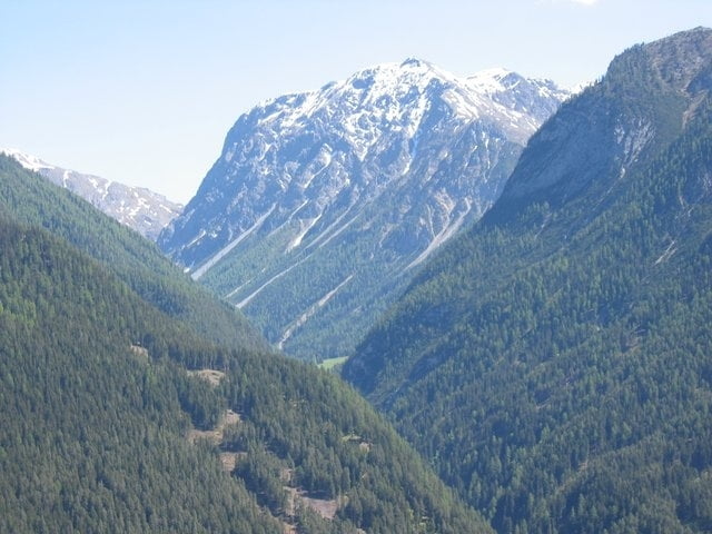
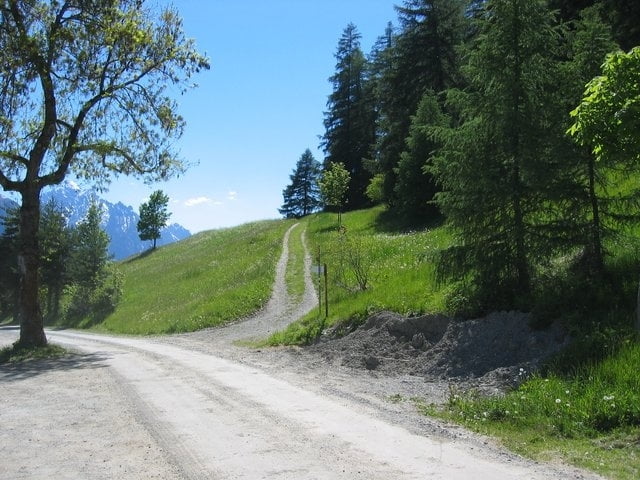
Die Tour beginnt am Schweizerhof in Vulpera und führt zunächst über asphaltierte und mit Kopfsteinpflaster hergestellte Wege bis nach Scuol. Von dort über Schotterwege nach Sent und dann ins Val Sinestra.
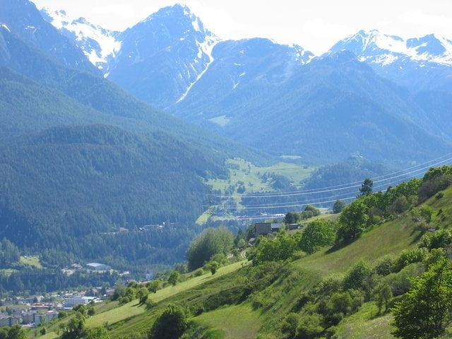
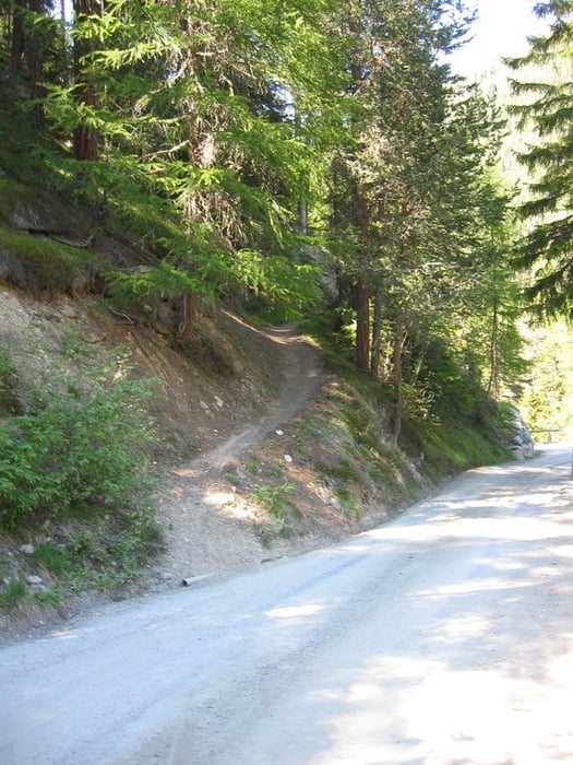
Leider ist es kein Rundkurs, wobei auf dem Rückweg teilweise Single-Trails (kurz) gefahren werden. Überwiegend herrliche Aussicht in Richtung Süden.
Further information at
http://www.sent-online.ch/sport_temp_liber/velo/index.htmlTour gallery
Tour map and elevation profile
Minimum height 1186 m
Maximum height 1582 m
More about the tour author

|
Jo |
Comments

Die Tour beginnt entweder am Robinsonclub Schweizerhof in Vulpera oder in Scuol an einem Parkplatz am Bach hinter dem Sportgeschaft Engiadina (oder so ähnlich).
GPS tracks
Trackpoints-
GPX / Garmin Map Source (gpx) download
-
TCX / Garmin Training Center® (tcx) download
-
CRS / Garmin Training Center® (crs) download
-
Google Earth (kml) download
-
G7ToWin (g7t) download
-
TTQV (trk) download
-
Overlay (ovl) download
-
Fugawi (txt) download
-
Kompass (DAV) Track (tk) download
-
Track data sheet (pdf) download
-
Original file of the author (gpx) download
More about the tour author
|
|
Jo |
Add to my favorites
Remove from my favorites
Edit tags
Open track
My score
Rate