

Deze tocht start in de Commandeurstraat...waarna we rechtdoor rijden de Bommerigerweg op.
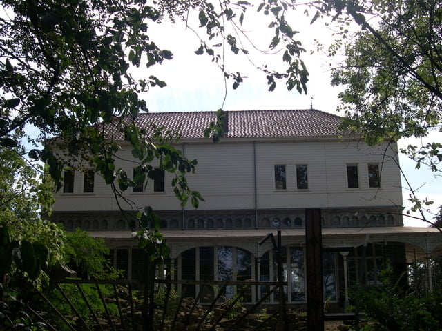
Iets verder in Bommerig gaan we achter pension de "hamer" links richting het voormalige gesticht het "Emmhaus".
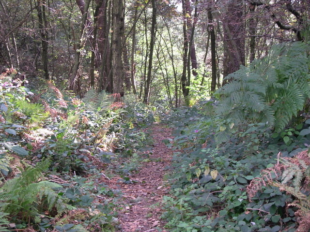
Vandaar gaan we het Elzetterbos in door naar het vijlenerbos tot aan de grens bij de wofhaag/gemmenich,waarna we omhoog gaan naar het 3 landenpunt.
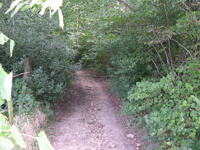
Vandaar uit voert de route door het akener en gemmenicherbos over mooie paden en singletrails,waarna we weer terug keren naar het 3 landenpunt.
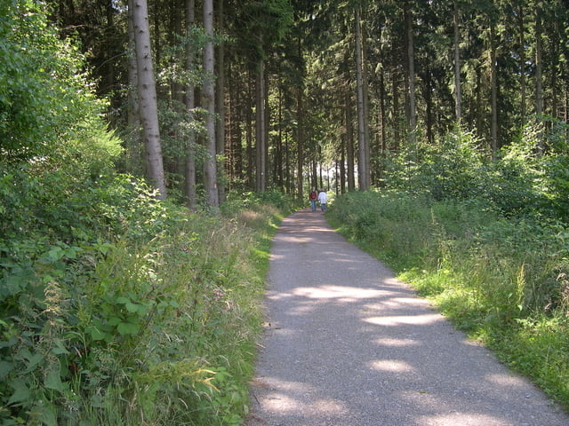
HIerna dalen we de wijk "wolfhaag" over een klein stukje asphalt weer richting het vijlenerbos,waarna we over mooie funpaadjes uitkomen bij het boscafe "het hijgend hert"
Waarna de route via het elzetterbos weer uitkomt in mechelen via de elzetterweg.
Niet meer dan 10% aspalt in de tour.
Rode waypoints=heenweg Blauwe waypoints=terugweg
Veel bikefun!!!
This tour starts in the commandeur street… where upon we straigt on bike to the Bommerigerweg. Something further in Bommerig goes we behind boardinghouse the " hamer" left direction the former hospice the " Emmhaus". Hence we enter the Elzetterwood by to the vijlenerbos until the border at the wofhaag/gemmenich, where upon whe go to 3 the country point. Hence from the route by the akener carries back and gemmenicherbos concerning beautiful paths and singletrails, where upon we return to 3 the country point. Here after we decrease the district " wolfhaag" concerning a small bit asphalt direction the vijlenerwood, where upon we concerning beautiful funtrails end up at the bunch bar " the panting hert" Where upon the route by means of the elzetterwood ends up in mechelen by means of the elzetterweg. No longer than 10% aspalt in the tour. Red waypoints=beginning blue waypoints=back of the tour Many bikefun!!!
Dieser tour beginnt in der commandeur Straße… wo auf wir gerade aus biken zum Bommerigerweg. Etwas weiter in Bommerig geht wir hinter pension der " hamer" linke Richtung das ehemalige Pflegeheim das " Emmhaus". Folglich wir das Elzetterwald vorbei zu den vijlenerwald bis den Rand am wofhaag/gemmenich, in dem nach whe gehen bis 3 der Landpunkt betreten. Folglich vom Weg durch das aachenerwald trägt zurück und gemmenicherwald hinsichtlich der schönen Wege und der singletrails, in denen auf wir bis 3 den Landpunkt zurückbringen. Hier, nachdem wir das Bezirk " wolfhaag" durchfahren, hinsichtlich einer kleinen Spitzenasphaltrichtung das vijlenerwald, wo auf wir hinsichtlich der schönen funtrails oben am waldcafe " das Keuchen hert" kommen. als ende biken wir nach dem Weg mittels des elzetterwald oben, mechelen mittels des elzetterweg. Nicht mehr als das 10% aspalt im Ausflug. Rote waypoints=anfang des Ausflugs Blauwe waypoints=zuruckroute. Viel bikefun!!!
Tour gallery
Tour map and elevation profile
Minimum height 104 m
Maximum height 351 m
More about the tour author
|
|
BertAusten |
Comments

Commandeurstraat 6281 AM Mechelen
GPS tracks
Trackpoints-
GPX / Garmin Map Source (gpx) download
-
TCX / Garmin Training Center® (tcx) download
-
CRS / Garmin Training Center® (crs) download
-
Google Earth (kml) download
-
G7ToWin (g7t) download
-
TTQV (trk) download
-
Overlay (ovl) download
-
Fugawi (txt) download
-
Kompass (DAV) Track (tk) download
-
Track data sheet (pdf) download
-
Original file of the author (gpx) download
More about the tour author
|
|
BertAusten |
Add to my favorites
Remove from my favorites
Edit tags
Open track
My score
Rate