


Schöne Runde die an der Winds Bar in Torbole startet.
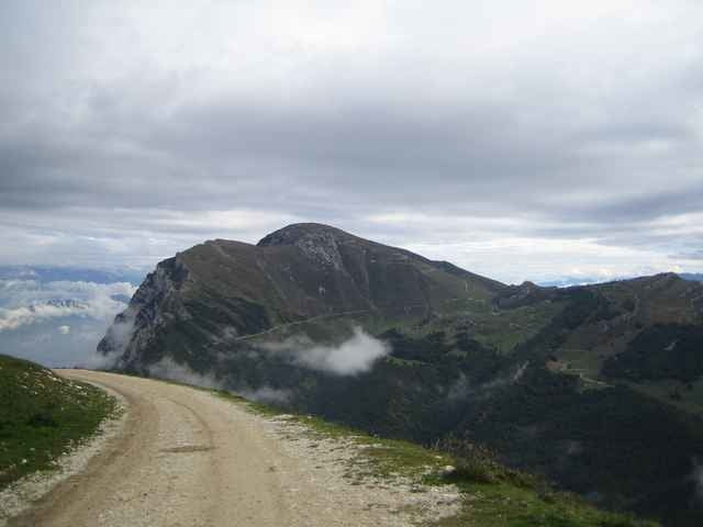
Wir fahren auf der Strasse nach Malcesine und dort mit der Gondel hoch. Nach einer kurzen Abfahrt auf dem Schotterweg, geht es wieder bergauf zum Rifugio Graziani. Wir fahren nicht weiter hoch zum Altissimo sondern geradeaus über die Almwiesen bis wir nach einer schönen Abfahrt wieder auf die Fahrstrasse nach St. Giacomo gelangen. Im Ort links abbiegen und Richtung Festa weiterfahren. Erst auf Waldwegen und dann über holprige Trials. In Festa links erneut Richtung Altissmo fahren. Der Schotterweg kommt dann wieder auf der Strasse kurz vor dem 601er raus. Wer mag kann diesen noch als letzte Herausforderung mitnehmen oder die verbliebenen 1500 Hm auf der Teerstrasse nach Torbole hinab jagen.
Eine tolle Tour auf der alles geboten ist - Teer, Schotter, Wald, Wiesen, Trials... super... ein wirklicher Giro...
Tour gallery
Tour map and elevation profile
Minimum height 72 m
Maximum height 1740 m
More about the tour author

|
aspanu |
Comments
Vor der Winds Bar in Torbole.
GPS tracks
Trackpoints-
GPX / Garmin Map Source (gpx) download
-
TCX / Garmin Training Center® (tcx) download
-
CRS / Garmin Training Center® (crs) download
-
Google Earth (kml) download
-
G7ToWin (g7t) download
-
TTQV (trk) download
-
Overlay (ovl) download
-
Fugawi (txt) download
-
Kompass (DAV) Track (tk) download
-
Track data sheet (pdf) download
-
Original file of the author (gpx) download
More about the tour author
|
|
aspanu |
Add to my favorites
Remove from my favorites
Edit tags
Open track
My score
Rate
Tourenbewertung
Ich fand die Tour nicht sonderlich gut.
Bin letztes Jahr ein ähnliche Tour gefahren.
Aber der Blick auf den See bei schönem Wetter entschädigt.
Außerdem ist der Trail super(wer es mag).
I sugest to all that go to garda to drive 281 tour. It is great