


Ab Schwertberg geht es im Aisttal auf der nicht all zu viel Befahrenen Bundesstrasse immer leicht bergauf ca 1-3% bis Höhe Gutau.
Dann etwas steiler ca. 5-7% nach St.Leonhard.
Danach immer Bergauf-Bergab über Weitersfelden nach Bad Zell.
Dort kurz eingekehrt und Platten behoben.
Nun eigentlich nur mehr Bergab über Tragwein und Schwertberg zurück.
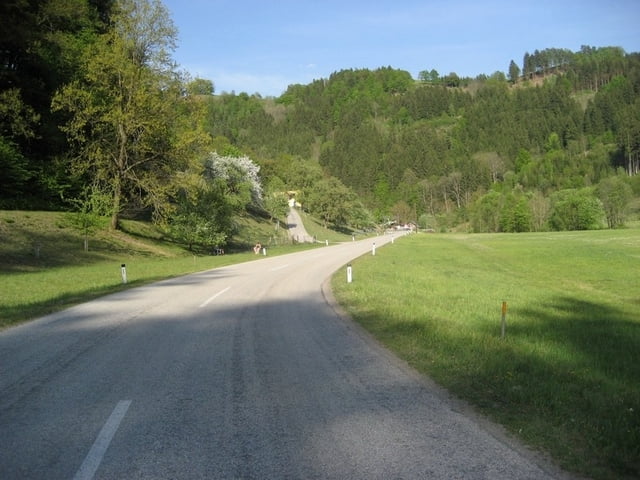
Tour gallery
Tour map and elevation profile
Minimum height 247 m
Maximum height 846 m
More about the tour author
|
|
Chris |
Comments

Ausgangspunkt ist die Industriezone in Ennsdorf.
Von der Autobahn über Ausfahrt St.Valentin oder Enns
Von der B3 über die Mauthausener Brücke.
Oder einfach direkt in Mauthausen starten, da geht sich aber die 100km nicht aus.
GPS tracks
Trackpoints-
GPX / Garmin Map Source (gpx) download
-
TCX / Garmin Training Center® (tcx) download
-
CRS / Garmin Training Center® (crs) download
-
Google Earth (kml) download
-
G7ToWin (g7t) download
-
TTQV (trk) download
-
Overlay (ovl) download
-
Fugawi (txt) download
-
Kompass (DAV) Track (tk) download
-
Track data sheet (pdf) download
-
Original file of the author (gpx) download
More about the tour author
|
|
Chris |
Add to my favorites
Remove from my favorites
Edit tags
Open track
My score
Rate