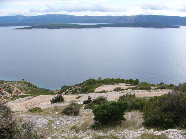
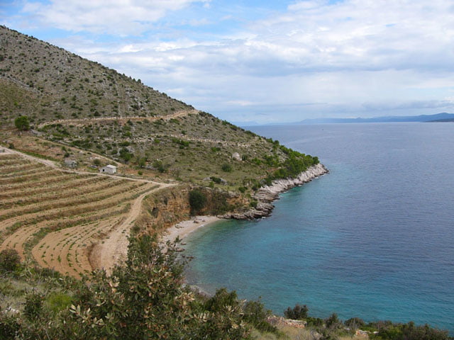
Die Tour beginnt in Bol beim Campingplatz Kito. Rauf geht's in angenehmer Steigung auf Asphaltstraßen. Runter teilweise steil und loser Schotter, zum Schluss am Meer entlang nach Bol. Wir folgen der Straße nach Gornji Humac, hier links Richtung Supetar. Bei km 23 biegen wir links ab Ri. Vidova Gora, nach ca. einen km rechts auf eine Schotterstraße. Wir folgen immer diesen Hauptweg. Achtung bei km 32,5 rechts vom Hauptweg abzweigen (der Hauptweg hört nach ca. 1km auf und du machst so wie ich ein paar Sonderhöhenmeter) und zum Meer bergab fahren, dabei immer links halten in leichter Bergauf und Bergabfahrt bis zum Ausgangspunkt in Bol. Super Tour bei der Abfahrt immer wieder schöne Ausblicke auf die Nachbarinsel Hvar.
Further information at
http://www.sigisfunwelt.deTour gallery
Tour map and elevation profile
Minimum height 27 m
Maximum height 600 m
Comments

GPS tracks
Trackpoints-
GPX / Garmin Map Source (gpx) download
-
TCX / Garmin Training Center® (tcx) download
-
CRS / Garmin Training Center® (crs) download
-
Google Earth (kml) download
-
G7ToWin (g7t) download
-
TTQV (trk) download
-
Overlay (ovl) download
-
Fugawi (txt) download
-
Kompass (DAV) Track (tk) download
-
Track data sheet (pdf) download
-
Original file of the author (g7t) download
Add to my favorites
Remove from my favorites
Edit tags
Open track
My score
Rate


