Login

Forgot your login?

Cookies have to be accepted!
Your browser's cookie functionality is disabled. Please enable this functionality.

Not a member yet?

Register now
Login

Available for registred users only

Log in to use this feature.

Forgot your login?

Cookies have to be accepted!
Your browser's cookie functionality is disabled. Please enable this functionality.

Not a member yet?

Register now
Filter
Categories
Advanced filters
  • Distance (km)
  • Height
Save filters Reset filter

TrackRank

QRCode

Technical data

Distance35,1 km Height841 m Way down851 m Duration02:15 h:m Date21.09.2008
Scores Author User Landscape Fun factor Fitness Technique

Statistics

1233 Views 1 Score 131 Downloads 3.00 Average
Rate
  • Track data sheet
  • Directions
  • Downloads
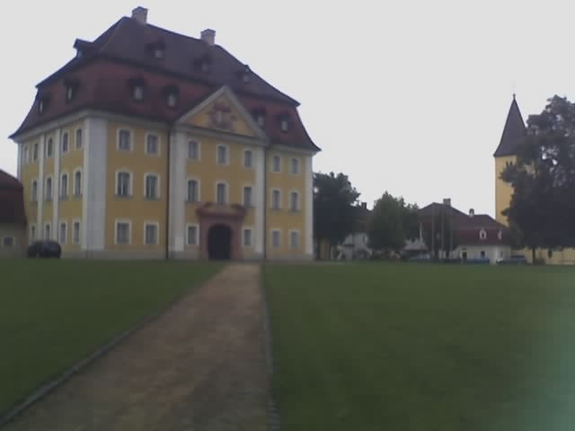
Die Tour startet am amberger Bahnhof und orientiert sich bis Waldhaus am weiß-rot-weiß gestreift markiertem Wanderweg, dann den Wanderweg mit dem roten Kreuz auf weßem Grund bis Theuern folgen und den Rückweg nach Amberg auf dem Wanderweg K6

Tour gallery

Tour map and elevation profile

  • Open Street Map
  • Google
Minimum height 351 m Maximum height 511 m Detailed view

More about the tour author

vollgang
Member since 2008

Send private message

Comments

Bahnhof Amberg

GPS tracks

Trackpoints
  • GPX / Garmin Map Source (gpx) download
  • TCX / Garmin Training Center® (tcx) download
  • CRS / Garmin Training Center® (crs) download
  • Google Earth (kml) download
  • G7ToWin (g7t) download
  • TTQV (trk) download
  • Overlay (ovl) download
  • Fugawi (txt) download
  • Kompass (DAV) Track (tk) download
  • Track data sheet (pdf) download
  • Original file of the author (gpx) download

More about the tour author

vollgang
Member since 2008

Send private message
Share track
Add to my favorites
Remove from my favorites
Edit tags
My score
Rate
Track: Amberg-Waldhaus-Theuern-Amberg
Type: Mountain bike
Distance: 35,1 km
Evaluated on:
Duration:
Day(s)
Hour(s)
Minute(s)
Score: Landscape Fun factor Fitness Technique