


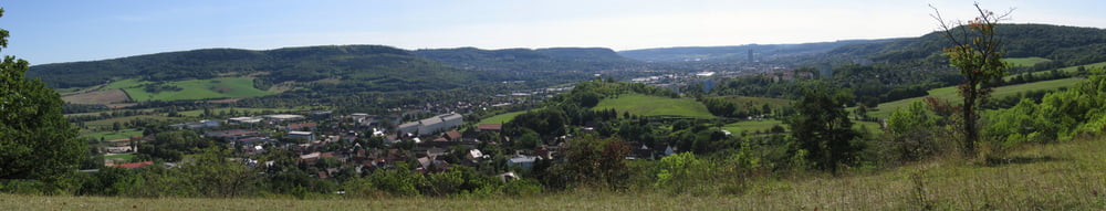
Abwechlungsreichen Tour welche von Kopfsteinpflasterstraße bis Single-Trail alles beinhaltet. Die Ausblicke entlang der Horizontalen von der "Eule" bis zum "Landgraf" sowie am "Napoleonstein" sind ein Genuß. Steiler Ansieg von der Papiermühle in RIchtung Cospeda dürfte den ein oder anderen Biker seine Wade spüren lassen. Die daran anknüpfende Strecke nach Closewitz lässt diese aber schnell regenerieren. Zum Abschluß nimmt man noch den Single-Trail in Richtung Zwätzen unter die Stollen. Ach und denkt daran "Wandere haben auch hier Vorrang". Viel Spaß!
Tour gallery

Tour map and elevation profile
Minimum height 133 m
Maximum height 362 m
More about the tour author
|
|
Kempi |
Comments

GPS tracks
Trackpoints-
GPX / Garmin Map Source (gpx) download
-
TCX / Garmin Training Center® (tcx) download
-
CRS / Garmin Training Center® (crs) download
-
Google Earth (kml) download
-
G7ToWin (g7t) download
-
TTQV (trk) download
-
Overlay (ovl) download
-
Fugawi (txt) download
-
Kompass (DAV) Track (tk) download
-
Track data sheet (pdf) download
-
Original file of the author (gpx) download
More about the tour author
|
|
Kempi |
Add to my favorites
Remove from my favorites
Edit tags
Open track
My score
Rate