

Deze tocht start in de Commandeurstraat in Mechelen,waarna we links uphill gaan de elzetterweg op.
Dan komen we uit in het elzetterbos vanwaar we via leuke pittige paadjes omhoog uitkomen in het vijlenerbos.
Aan het einde daarvan rijden we richting de toeristenweg door de wijk "wolfhaag"
Waarna we klimmen richting het 3 landenpunt.......net voor het 3 landenpunt gaan we links naar beneden.....LET OP!!!! STEILE GEVAARLIJKE AFDALING!!! met veel losse steentjes.
Van bij het 3 landenpunt gaat de tocht voor 75% door het gemmenicherbos en de rest het akenerbos,weer terug naar het 3 landenpunt,waarvan we weer via leuke boswegen en trailstukjes terugkeren in mechelen.
Rode waypoints zijn van de heenroute -----de blauwe de terugroute
This tour starts in the commandeur street in Mechelen, where upon we left uphill go up the elzetterweg. Then we end up in the elzetterwood from where we by means of leuke spicy paths omhoog to end up in the vijlenerwood. To end of it we drive direction the toeristenweg by the district " wolfhaag" Whereupon we climb direction it 3 landenpunt.......net for 3 the country point go we left down ..... PAY ATTENTION TO!!!! STEEP DANGEROUS DESCENT!!! with much scree. Of at 3 the country point the excursion for 75% returns by the gemmenicherwood and the rest the akenerwood, to 3 the country point, of which we return by means of leuke bunch ways and singletrails to mechelen.
Red waypoints--the first part of the tour. ----Bleu waypoints---the backway
Dieser tour beginnt in der commandeur Straße in Mechelen, wohin auf wir hinaufgehen aufwärts uber den elzetterweg Dann kommen wir oben im elzetterwald von, wo man uns mittels leuke des würzigen Wege oben im vijlenerwald beendet. Zum Ende von ihm wir Antriebsdrehrichtung das toeristenweg durch das Bezirk " wolfhaag" Worauf wir Richtung es 3 landenpunt.......net für 3 der Landpunkt klettern, gehen wir verließen hinunter ..... LOHN-AUFMERKSAMKEIT ZU!!!! STEILER GEFÄHRLICHER ABFALL!!! mit vielen steinen. Von bei 3 zeigen das Land die Exkursion für die 75% Rückkehr durch das gemmenicherwald und den Rest das aachenerwald, bis 3 der Landpunkt, von dem wir mittels der leuke Bündel Weisen und der singletrails mechelen zurückkommen.
Rote waypoints--der hinweg.---- blauwe waypoints--der zuruckweg
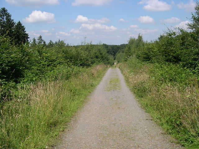
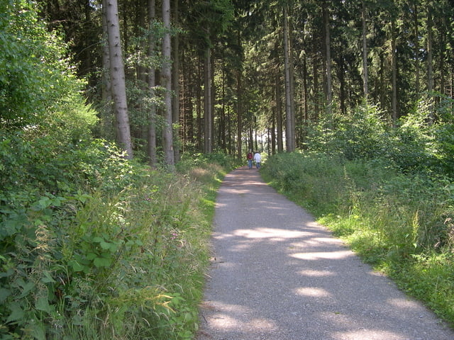
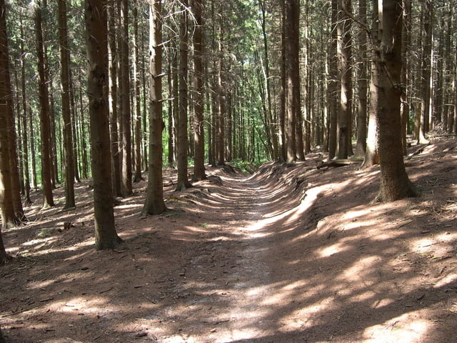
Tour gallery
Tour map and elevation profile
Minimum height 105 m
Maximum height 349 m
More about the tour author
|
|
BertAusten |
Comments

Commandeurstraat 6281 AM Mechelen
GPS tracks
Trackpoints-
GPX / Garmin Map Source (gpx) download
-
TCX / Garmin Training Center® (tcx) download
-
CRS / Garmin Training Center® (crs) download
-
Google Earth (kml) download
-
G7ToWin (g7t) download
-
TTQV (trk) download
-
Overlay (ovl) download
-
Fugawi (txt) download
-
Kompass (DAV) Track (tk) download
-
Track data sheet (pdf) download
-
Original file of the author (gpx) download
More about the tour author
|
|
BertAusten |
Add to my favorites
Remove from my favorites
Edit tags
Open track
My score
Rate