


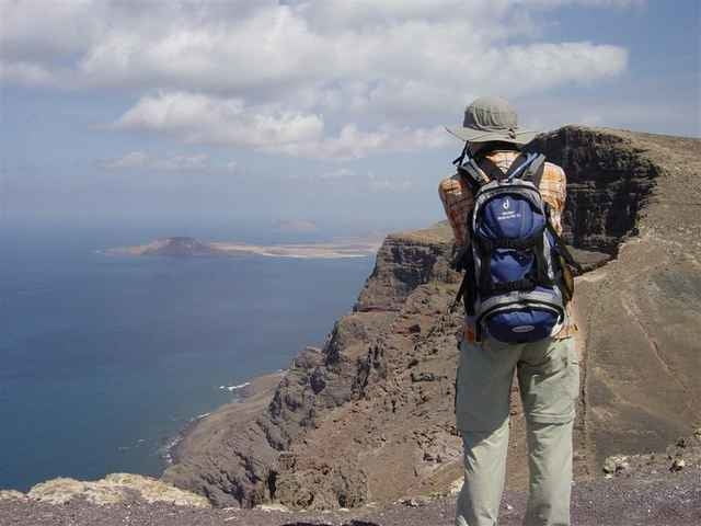
Wir starten im Süden des Ortes Haria und wandern in nördlicher Richtung bis zum Ortsende, wo wir links abbiegen und die asphaltierte Straße verlassen. Gleich darauf wieder links folgen wir einem Fahrweg im "Valle de las Castillos" leicht ansteigend bis zu dessen Ende. Nun ist der Weg nicht leicht zu finden, wir streben aber leicht nach links immer dem Gipfel zu. Die Mühe lohnt sich, denn der Blick reicht über die lange Steilküste der "El Risco de Famara". Von hier aus sehen wir schon den parallel verlaufenden Retourweg durch das "Valle del Rincón" Richtung Haria.
Im Ort Haria lohnt sich ein Besuch im Friedhof, in dem der berühmte Künstler César Manrique seine letzte Ruhestätte fand.
Karte: Lanzarote - Digitale Outdoorkarte (Kompass)
Im Ort Haria lohnt sich ein Besuch im Friedhof, in dem der berühmte Künstler César Manrique seine letzte Ruhestätte fand.
Karte: Lanzarote - Digitale Outdoorkarte (Kompass)
Further information at
http://www.institutum-canarium.org/fstart_d.html?/cawww_d.htmlTour gallery
Tour map and elevation profile
Minimum height 289 m
Maximum height 506 m
More about the tour author
|
|
Jonny |
Comments

Mietauto bis Haria
Haria liegt mitten auf der Nordspitze der Insel.
Von Arrecife (der Hauptstadt der Insel) kann man entweder bis Teguise und weiter nach LosValles bis Haria durch eine schöne Berglandschaft kommen (LZ-10),
oder man zweigt bei Tahiche auf die LZ-1 ab und fährt duch flacheres Gebiet fast entlang der Küste bis Arrieta, wo man hinauf nach Haria abzweigt.
In Haria selbst gibt es genug Parkmöglichkeiten im Ort.
GPS tracks
Trackpoints-
GPX / Garmin Map Source (gpx) download
-
TCX / Garmin Training Center® (tcx) download
-
CRS / Garmin Training Center® (crs) download
-
Google Earth (kml) download
-
G7ToWin (g7t) download
-
TTQV (trk) download
-
Overlay (ovl) download
-
Fugawi (txt) download
-
Kompass (DAV) Track (tk) download
-
Track data sheet (pdf) download
-
Original file of the author (gpx) download
More about the tour author
|
|
Jonny |
Add to my favorites
Remove from my favorites
Edit tags
Open track
My score
Rate