


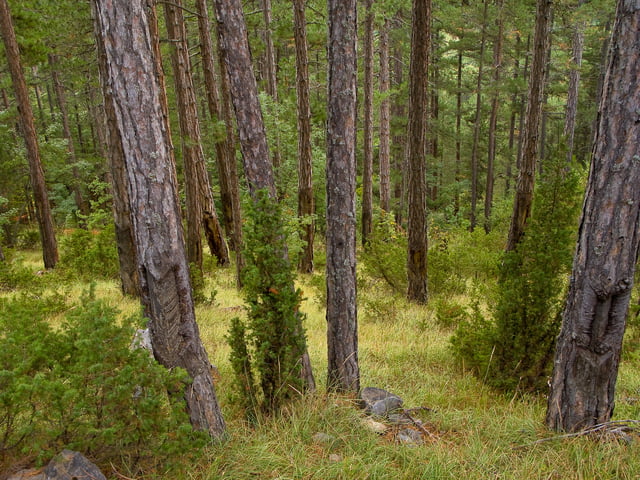
От Нареченки Бани се хваща нагоре по асфалта. После пътеката към Пашалийца. Качването с малко повече техника и издръжливост се върти цялто.
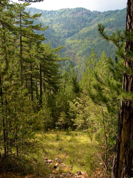
Самото спускане е по пътека ... родопска :)
Цялото каране е чисто 2 часа ... с почивките, снимките и тн. екстри 3-4.
Особенно приятно е есенно време.
Вода има само в началото на асфалта и на края на асфалта. После евентулано на средата на спускането, ако не е пресъхнала.
Further information at
http://outfaced.diinoweb.com/files/gallery/bike/2008/19%20nad%20Narechenski%20Bani/Tour gallery
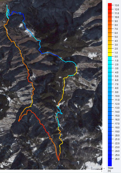
Tour map and elevation profile
Minimum height 558 m
Maximum height 1320 m
More about the tour author
|
|
outfaced |
Comments

до Нареченски Бани се стига или с автобус от Пловдив / Асеновград или с кола.
От Асеновград са 22км (пътя Асеновград-Смолян)
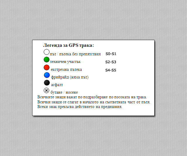
GPS tracks
Trackpoints-
GPX / Garmin Map Source (gpx) download
-
TCX / Garmin Training Center® (tcx) download
-
CRS / Garmin Training Center® (crs) download
-
Google Earth (kml) download
-
G7ToWin (g7t) download
-
TTQV (trk) download
-
Overlay (ovl) download
-
Fugawi (txt) download
-
Kompass (DAV) Track (tk) download
-
Track data sheet (pdf) download
-
Original file of the author (gpx) download
More about the tour author
|
|
outfaced |
Add to my favorites
Remove from my favorites
Edit tags
Open track
My score
Rate