


This tour is held in September every year and organised by the Kiwanis with the armed forces. start money: 3.50€ (2008) and includes 3 stations on the way. It can be ridden all year round, but best when not too wet becase some of the climbs and descents are very steep.
The tour starts at the military base Schönefeld above Eupen and goes over to 'Lac de la Gileppe' then back to the 'Eupen Talsperre' before ending back at the start.
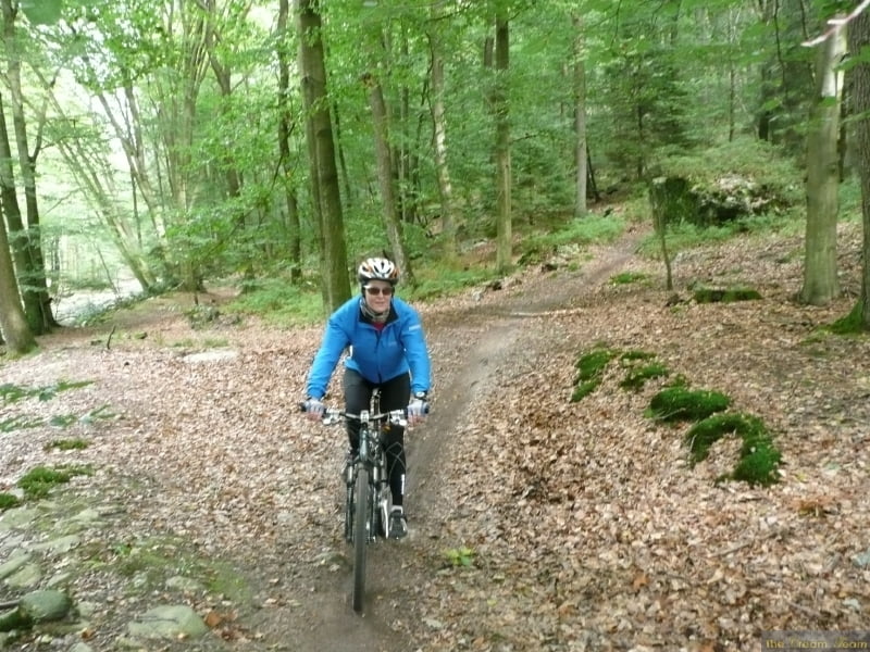
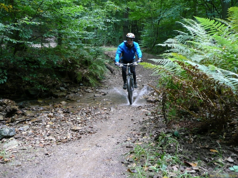
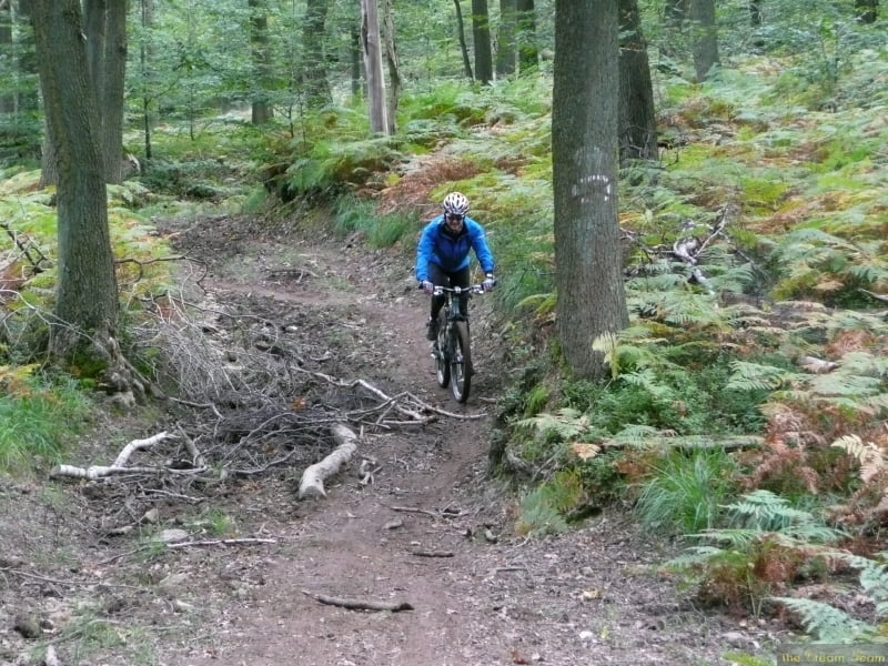
It is about 30% single trail through the most beautiful beach forest. There is something for everyone, steep descents, technical trails and fast sweeping trails as well.
The best time is autumn when the leaves are changing.
Further information at
http://www.creamteam.beTour gallery
Tour map and elevation profile
Minimum height 248 m
Maximum height 490 m
More about the tour author
|
|
Cream Team |
Comments
From Eupen follow the signs to 'Schönefeld'. In Schönefeld you will easily find the Military sports complex, park there and follow the track.
GPS tracks
Trackpoints-
GPX / Garmin Map Source (gpx) download
-
TCX / Garmin Training Center® (tcx) download
-
CRS / Garmin Training Center® (crs) download
-
Google Earth (kml) download
-
G7ToWin (g7t) download
-
TTQV (trk) download
-
Overlay (ovl) download
-
Fugawi (txt) download
-
Kompass (DAV) Track (tk) download
-
Track data sheet (pdf) download
-
Original file of the author (gpx) download
More about the tour author
|
|
Cream Team |
Add to my favorites
Remove from my favorites
Edit tags
Open track
My score
Rate
Tolle Tour!!
An 2 Kreuzungspunkten ist es schwierig zu sehen, in welche Richtung es weitergeht.
Vielen Dank für diese Fantastische Tour!!!
Sehr zu empfehlen!
Schon gleich zu Beginn erwartet einen ein Sahne-Flow-Trail von Schönefeld Richtung Eupener Unterstadt.
Im mittleren Teil nach den Trails um die Gileppe-Talsprerre fährt man vermehrt auf Forst- bzw. Wanderwegen. Am Ende kommen aber wieder richtig schöne Trails.
Insgesamt ist die Runde sehr stimmig, mit wirklich vielen schönen Trails, aber auch schon recht anstrengend, da man die Berge immer wieder hoch und runter fährt (sieht man auch sehr schön an den vielen Schleifen, die der Track macht.)
Achtet auf die richtige Fahrtrichtung, v.a. in der Schleife nach der schwarzen Brücke. Es geht eigentlich immer gegen den Uhrzeigersinn. Nettofahrtzeit war bei mir ca. 4:20., allerdings mit An- und Abfahrt nach Eupen ca. 65km.
Danke für die schöne Tour!