


Tourstart ist in der Nähe des amberger Bahnhofs und orientiert sich zu großen Teilen an anderwegen. Du folgst zunächst der weiß-rot-weißen Markierung, dann dem gelben-Kreis-auf-weißem-Grund bis Ammerthal. Ab hier der weiß-blau-weißen Markierung und dann dem blauen-Kreuz-auf-weißem-Grund folgen bis Kastl. In Kastl fährst du den Klosterberg hoch und folgst dann dem Schweppermannradweg bis Ursensollen über Hohenkemnath,dem Marterlweg folgend nach Amberg
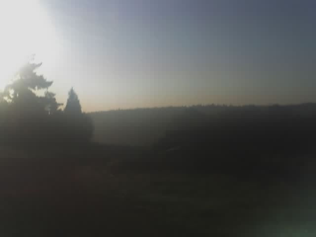
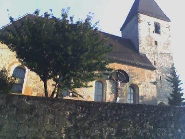
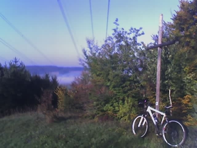
Tour gallery
Tour map and elevation profile
Minimum height 358 m
Maximum height 588 m
More about the tour author
|
|
vollgang |
Comments

Bahnhof Amberg
GPS tracks
Trackpoints-
GPX / Garmin Map Source (gpx) download
-
TCX / Garmin Training Center® (tcx) download
-
CRS / Garmin Training Center® (crs) download
-
Google Earth (kml) download
-
G7ToWin (g7t) download
-
TTQV (trk) download
-
Overlay (ovl) download
-
Fugawi (txt) download
-
Kompass (DAV) Track (tk) download
-
Track data sheet (pdf) download
-
Original file of the author (gpx) download
More about the tour author
|
|
vollgang |
Add to my favorites
Remove from my favorites
Edit tags
Open track
My score
Rate