


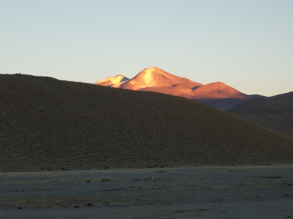
In Quetena Chico beginnt die Auffahrt auf einer ehemaligen Minienstraße zum Vulkan Uturuncu. Man sollte dort mit Sonnenaufgang starten. Die Strecke beginnt zunächst sandig und sumpfig, bei mir war sie so früh noch vereist, so dass ich diese Passagen fahren konnte. Weiter oben wird die Piste felsiger und wäre im Prinzip fast komplett fahrbar, wenn nicht der Wind und die dünne Luft wären. Die Piste endet etwa bei 5.800 m. Dann steigt man die letzten Meter zur 6.000er Marke und genießt gegen 14-15 Uhr die geniale Aussicht. Anschließend 2000 Höhenmeter Abfahrt und zur Belohnung im Hostal eine kalte Dusche und vertrocknete Kekse. Auf geht's!
Tour gallery
Tour map and elevation profile
Minimum height 4148 m
Maximum height 6022 m
More about the tour author

|
Comments

Quetena Chico ist abgelegen und nur per Geländewagen oder Fahrrad erreichbar.
GPS tracks
Trackpoints-
GPX / Garmin Map Source (gpx) download
-
TCX / Garmin Training Center® (tcx) download
-
CRS / Garmin Training Center® (crs) download
-
Google Earth (kml) download
-
G7ToWin (g7t) download
-
TTQV (trk) download
-
Overlay (ovl) download
-
Fugawi (txt) download
-
Kompass (DAV) Track (tk) download
-
Track data sheet (pdf) download
-
Original file of the author (gpx) download
More about the tour author
|
|
Add to my favorites
Remove from my favorites
Edit tags
Open track
My score
Rate