Login

Forgot your login?

Cookies have to be accepted!
Your browser's cookie functionality is disabled. Please enable this functionality.

Not a member yet?

Register now
Login

Available for registred users only

Log in to use this feature.

Forgot your login?

Cookies have to be accepted!
Your browser's cookie functionality is disabled. Please enable this functionality.

Not a member yet?

Register now
Filter
Categories
Advanced filters
  • Distance (km)
  • Height
Save filters Reset filter

TrackRank

QRCode

Technical data

Distance97,6 km Height707 m Way down471 m Duration05:00 h:m Date29.09.2008
Scores Author Landscape Fun factor Fitness Technique

Statistics

717 Views Scores 64 Downloads Average
Rate
  • Track data sheet
  • Directions
  • Downloads

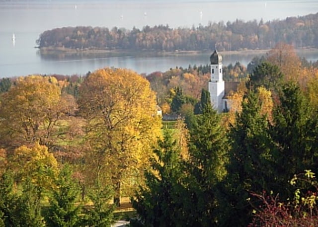
Tour von Augsburg nach Fürstenfeldbruck über Starnberg und Wolfratshausen zum Ziel Geretsried. Wir hatten ordentlich Gegenwind (Windspeed 30-40 km/h), die gefahrene Zeit ist also als relativ anzusehen. Es wird bestimmt einige geben, die diese Strecke in 4 Stunden fahren...

Die Fahrt geht größtenteils über Landstrassen, vornehmlich B2 ab Augsburg. Kleines Highlight ist die Serpentinenabfahrt am Wolfratshauser Berg.


Tour map and elevation profile

  • Open Street Map
  • Google
Minimum height 374 m Maximum height 679 m Detailed view

More about the tour author

Pointer
Member since 2008

Send private message

Comments

GPS tracks

Trackpoints
  • GPX / Garmin Map Source (gpx) download
  • TCX / Garmin Training Center® (tcx) download
  • CRS / Garmin Training Center® (crs) download
  • Google Earth (kml) download
  • G7ToWin (g7t) download
  • TTQV (trk) download
  • Overlay (ovl) download
  • Fugawi (txt) download
  • Kompass (DAV) Track (tk) download
  • Track data sheet (pdf) download
  • Original file of the author (gpx) download

More about the tour author

Pointer
Member since 2008

Send private message
Share track
Add to my favorites
Remove from my favorites
Edit tags
My score
Rate
Track: Augsburg-FFB-Starnberg-Wolfratshausen-Geretsried
Type: Mountain bike
Distance: 97,6 km
Evaluated on:
Duration:
Day(s)
Hour(s)
Minute(s)
Score: Landscape Fun factor Fitness Technique