


Traumhafter Wuppertaler Rundweg!
Wir sind in einer netten Truppe an der Jugendfarm in der Rutenbeck gestartet. Meine Aufzeichnung beginnt in Wieden/Vohwinkel und endet hier auch wieder. Die Tour ist nicht komplett, ich bin am Gut Steinberg (Grenze Elberfeld/Vohwinkel) ausgestiegen. Somit fehlt der Teil Lüntenbeck-Dornap-Schöller-Osterholz-Vohwinkler Höhe-Solinger Burgholz.
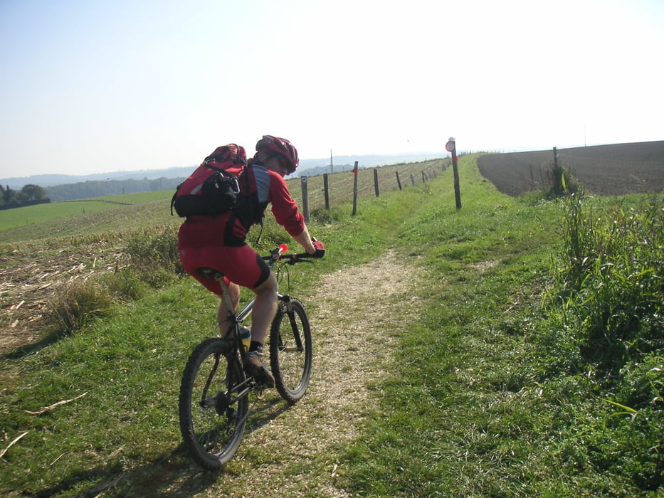
Wir sind gegen den Uhrzeigersinn gefahren, ich finde dass die Strecke so schöner zu fahren ist. Insbesondere die schöne Abfahrt vom Windrad in Beyenburg runter zum Stausee ist so zu fahren...es wäre eine Schande, den hochzuschieben.
Man muss schon einen ganzen Tag einplanen um in einer Gruppe ganz herumzufahren, alles in allem schon recht anstrengend. Ich hab mal was von 4h40min gehört....Wahnsinn...alleine bin ich in 6h10min herumgefahren.
Die Strecke ist sehr abwechslungsreich, traumhafte Blicke von den Höhen sind garantiert....zumindest bei dem Wetter am 28.Oktober.
P.S. Es wird nur auf eindeutigen Wegen gefahren!
Viel Spaß beim nachfahren!
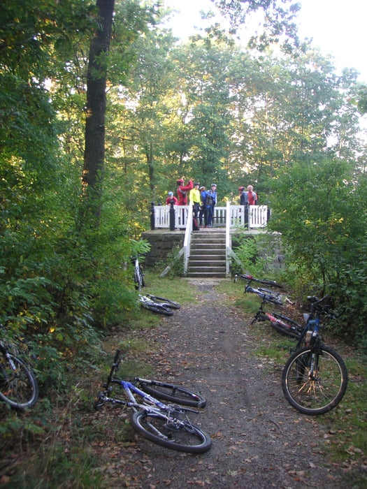
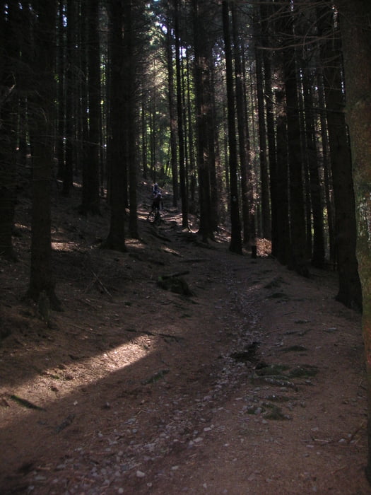
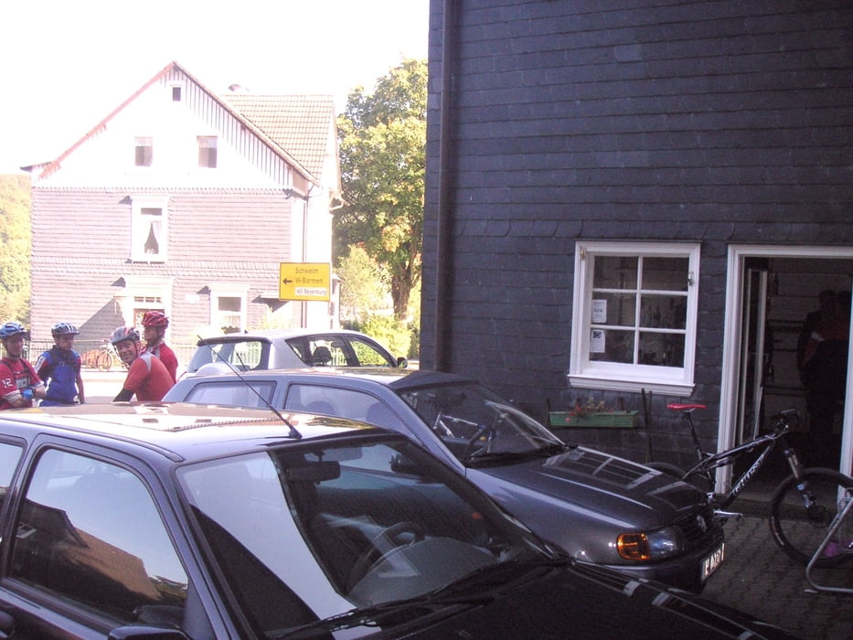
Tour gallery
Tour map and elevation profile
Minimum height 123 m
Maximum height 343 m
More about the tour author

|
singletrailer |
Comments

Unser Einstieg liegt direkt am Beginn des Radweges nach Müngsten. Prinzipiell ist der Einstieg natürlich überall möglich.
GPS tracks
Trackpoints-
GPX / Garmin Map Source (gpx) download
-
TCX / Garmin Training Center® (tcx) download
-
CRS / Garmin Training Center® (crs) download
-
Google Earth (kml) download
-
G7ToWin (g7t) download
-
TTQV (trk) download
-
Overlay (ovl) download
-
Fugawi (txt) download
-
Kompass (DAV) Track (tk) download
-
Track data sheet (pdf) download
-
Original file of the author (gpx) download
More about the tour author
|
|
singletrailer |
Add to my favorites
Remove from my favorites
Edit tags
Open track
My score
Rate