
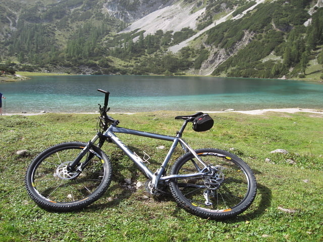

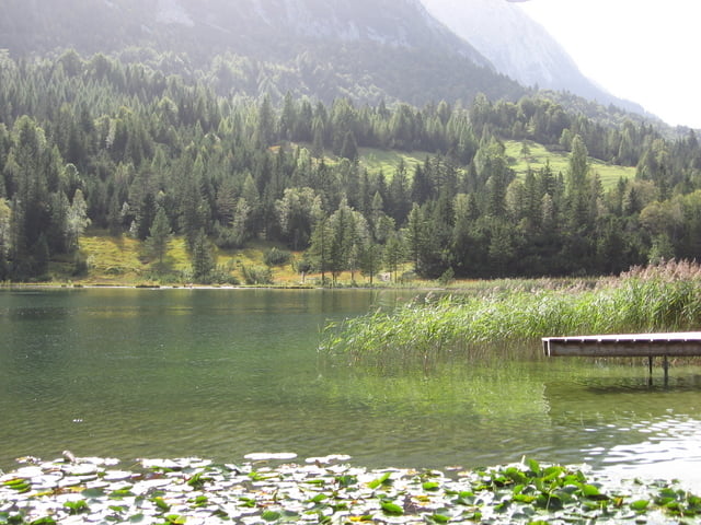
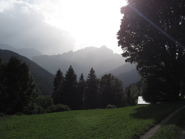
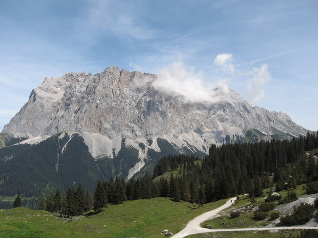
Eine etwas vereinfachte Variante der klassischen Wettersteinrunde mit Abstecher rauf zum Sebensee........absolute Traumrunde mit vielen Einkehr und Bademöglichkeiten !!!
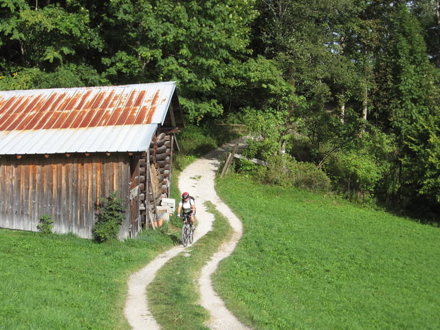
Vorsicht ! Die letzte Abfahrt runter nach Garmisch ist extrem steil, wer nicht ganz sicher ist auf seinem Bike sollte hier lieber schieben
Die klassische Runde mit ausführlicher Beschreibung gibts unter: www.gps-tour.info/de/touren/detail.19409.html
Tour gallery
Tour map and elevation profile
Minimum height 731 m
Maximum height 1664 m
More about the tour author
|
|
Ritzelflitzer |
Comments

GPS tracks
Trackpoints-
GPX / Garmin Map Source (gpx) download
-
TCX / Garmin Training Center® (tcx) download
-
CRS / Garmin Training Center® (crs) download
-
Google Earth (kml) download
-
G7ToWin (g7t) download
-
TTQV (trk) download
-
Overlay (ovl) download
-
Fugawi (txt) download
-
Kompass (DAV) Track (tk) download
-
Track data sheet (pdf) download
-
Original file of the author (gpx) download
More about the tour author
|
|
Ritzelflitzer |
Add to my favorites
Remove from my favorites
Edit tags
Open track
My score
Rate