
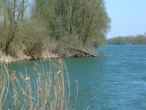

Der Schlußspurt meiner 3-Tages-Tour. Mit ziemlich vielen Rentnern rund um Bad Füssing ;-) und neuerlich einer Umleitung hinter Schärding.
In Passau habe ich dann noch einmal übernachtet, und bin am nächsten Tag zu meinem "Touranfang" an den Bahnhof von Plattling zurückgefahren. Von dort war ich mit dem Zug nach Innsbruck aufgebrochen.
Further information at
http://de.wikipedia.org/wiki/M%C3%BChldorf_a._InnTour gallery
Tour map and elevation profile
Minimum height 289 m
Maximum height 400 m
More about the tour author
|
|
peter65191 |
Comments

Auch hier war keine Anreise notwendig, da ich die letzte Nacht in Mühldorf verbracht hatte.
GPS tracks
Trackpoints-
GPX / Garmin Map Source (gpx) download
-
TCX / Garmin Training Center® (tcx) download
-
CRS / Garmin Training Center® (crs) download
-
Google Earth (kml) download
-
G7ToWin (g7t) download
-
TTQV (trk) download
-
Overlay (ovl) download
-
Fugawi (txt) download
-
Kompass (DAV) Track (tk) download
-
Track data sheet (pdf) download
-
Original file of the author (gpx) download
More about the tour author
|
|
peter65191 |
Add to my favorites
Remove from my favorites
Edit tags
Open track
My score
Rate