Login

Forgotten password?

Cookies have to be accepted!
Your browser's cookie functionality is disabled. Please enable this functionality.

Not a member yet?

Register now
Login

Available for registred users only

Log in to use this feature.

Forgotten password?

Cookies have to be accepted!
Your browser's cookie functionality is disabled. Please enable this functionality.

Not a member yet?

Register now
Filter
Categories
Advanced filters
  • Distance (km)
  • Height
Save filters Reset filter

TrackRank

QRCode

Technical data

Distance23,3 km Height178 m Way down183 m Duration01:10 h:m Date07.10.2008
Scores Author Landscape Fun factor Fitness Technique

Statistics

466 Views Scores 64 Downloads Average
Rate
  • Track data sheet
  • Directions
  • Downloads
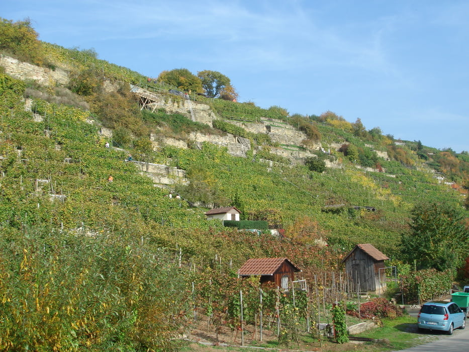
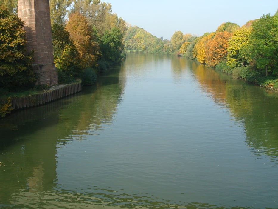
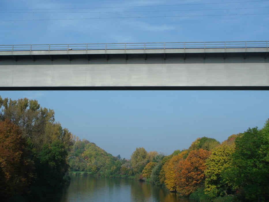
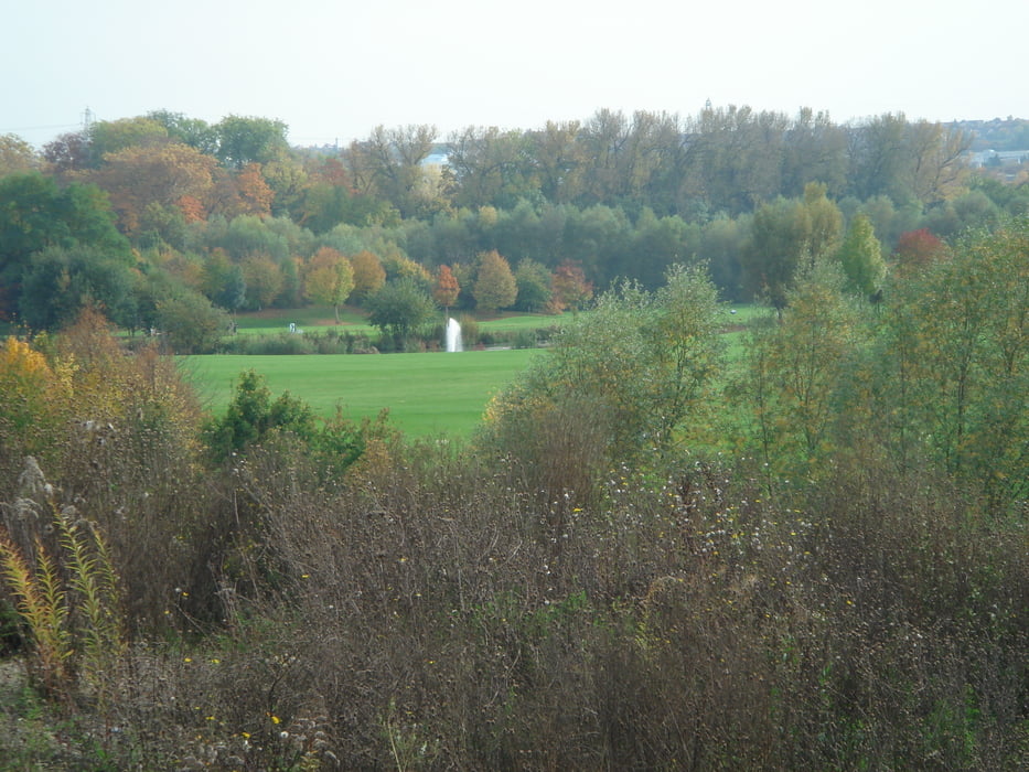
Vom Hallenbad in Freiberg erfolgt der Start hinunter an den Neckar bis Benningen weiter nach Hoheneck. Bei der Schiffsanlegestelle in Hoheneck geht es rechts weg zur Heilquelle den Berg hinauf zum Favoritenpark. Am Favoritenpark weiter zum Monrepos am Golfplatz vorbei nach Bietigheim, Wilhelmshof nach Freiberg zurück.  

Further information at

http://www.freiberg-an.de/

Tour gallery

Tour map and elevation profile

  • Open Street Map
  • Google
Minimum height 193 m Maximum height 278 m Detailed view

More about the tour author

jok
Member since 2008

Send private message

Comments

Die Tour beginnt in Freiberg a.N. am Hallenbad.

GPS tracks

Trackpoints
  • GPX / Garmin Map Source (gpx) download
  • TCX / Garmin Training Center® (tcx) download
  • CRS / Garmin Training Center® (crs) download
  • Google Earth (kml) download
  • G7ToWin (g7t) download
  • TTQV (trk) download
  • Overlay (ovl) download
  • Fugawi (txt) download
  • Kompass (DAV) Track (tk) download
  • Track data sheet (pdf) download
  • Original file of the author (gpx) download

More about the tour author

jok
Member since 2008

Send private message
Share track
Add to my favorites
Remove from my favorites
Edit tags
My score
Rate
Track: Neckar und Favoritenpark
Type: Trekkingbike
Distance: 23,3 km
Evaluated on:
Duration:
Day(s)
Hour(s)
Minute(s)
Score: Landscape Fun factor Fitness Technique