


Ein wunderschöner Tag mit Besuch von 3 Brauereien:
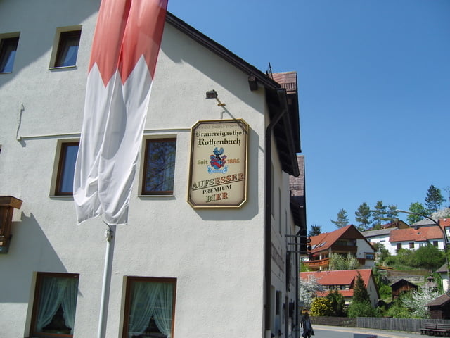
1. Brauerei - Stadter in Aufseß OT Sachsendorf
2. Brauerei - Kathi Bräu in Aufseß OT Heckenhof
3. Brauerei - Krug in Waischenfeld OT Breitenlesau
Zum Schluß Einkehr im Gasthaus Moritz in Hollfeld (www.moritz-hollfeld.de)
Falls Ihr mal eine Tour mit Euren Freunden vorhabt ist dies eine super Empfehlung!
Diese Tour ist auch durchaus mit einem Trekking Fahrrad machbar.
Further information at
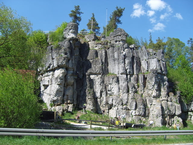
http://www.brauereiwandern.de/Tour gallery


Tour map and elevation profile
Minimum height 312 m
Maximum height 483 m
More about the tour author
|
|
steppenwolf |
Comments

Start am Camping Platz Freienfels (www.waldmuehle.net).
A70 Ausfahrt Stadelhofen dann Richtung Hollfeld/Freienfels
GPS tracks
Trackpoints-
GPX / Garmin Map Source (gpx) download
-
TCX / Garmin Training Center® (tcx) download
-
CRS / Garmin Training Center® (crs) download
-
Google Earth (kml) download
-
G7ToWin (g7t) download
-
TTQV (trk) download
-
Overlay (ovl) download
-
Fugawi (txt) download
-
Kompass (DAV) Track (tk) download
-
Track data sheet (pdf) download
-
Original file of the author (gpx) download
More about the tour author
|
|
steppenwolf |
Add to my favorites
Remove from my favorites
Edit tags
Open track
My score
Rate