Login

Forgot your login?

Cookies have to be accepted!
Your browser's cookie functionality is disabled. Please enable this functionality.

Not a member yet?

Register now
Login

Available for registred users only

Log in to use this feature.

Forgot your login?

Cookies have to be accepted!
Your browser's cookie functionality is disabled. Please enable this functionality.

Not a member yet?

Register now
Filter
Categories
Advanced filters
  • Distance (km)
  • Height
Save filters Reset filter

TrackRank

QRCode

Technical data

Distance43,2 km Height340 m Way down337 m Duration02:30 h:m Date10.10.2008
Scores Author User Landscape Fun factor Fitness Technique

Statistics

1769 Views 2 Scores 215 Downloads 4.50 Average
Rate
  • Track data sheet
  • Directions
  • Downloads

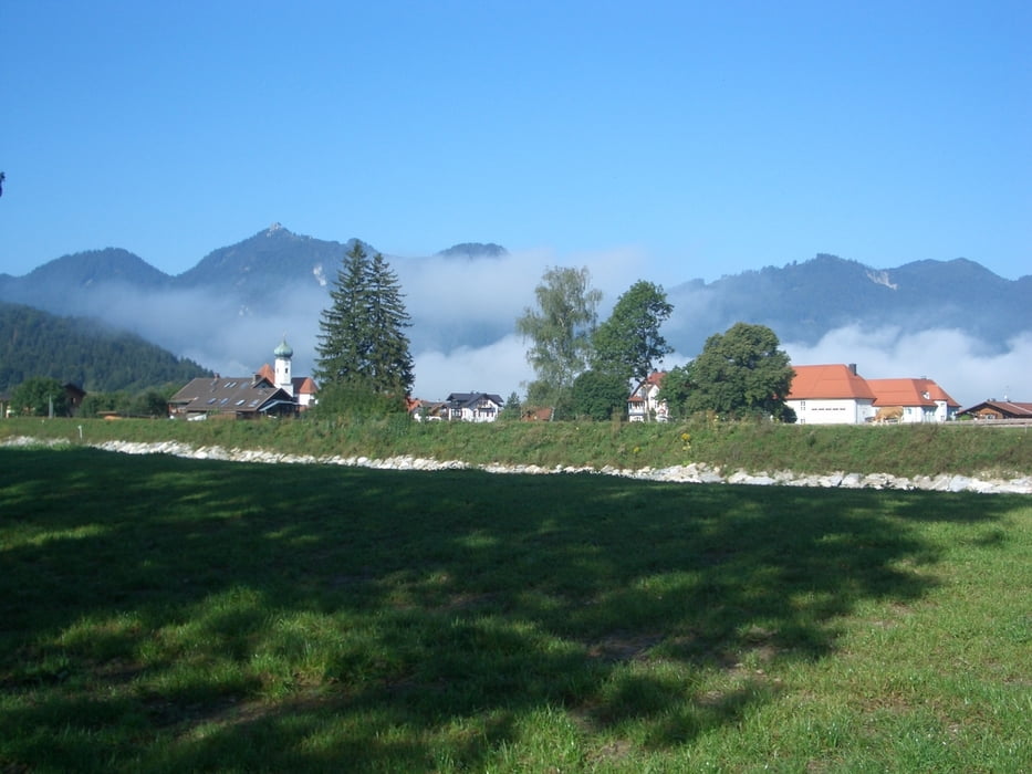
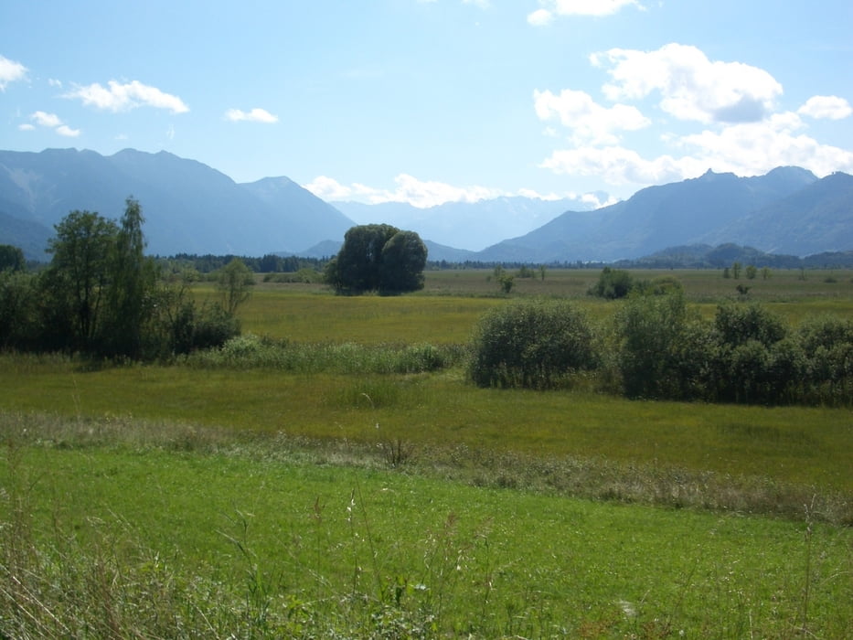
Von Ohlstadt auf dem Radweg über Eschenlohe nach Oberau.

Von Oberau über das Katzental ins Murnauer Moos

und zurück nach Ohlstadt.


Tour gallery

Tour map and elevation profile

  • Open Street Map
  • Google
Minimum height 625 m Maximum height 751 m Detailed view

More about the tour author

bruno68
Member since 2008

Send private message

Comments

GPS tracks

Trackpoints
  • GPX / Garmin Map Source (gpx) download
  • TCX / Garmin Training Center® (tcx) download
  • CRS / Garmin Training Center® (crs) download
  • Google Earth (kml) download
  • G7ToWin (g7t) download
  • TTQV (trk) download
  • Overlay (ovl) download
  • Fugawi (txt) download
  • Kompass (DAV) Track (tk) download
  • Track data sheet (pdf) download
  • Original file of the author (gpx) download

More about the tour author

bruno68
Member since 2008

Send private message
Share track
Add to my favorites
Remove from my favorites
Edit tags
My score
Rate
Track: Ohlstadt-Oberau über Katzental ins Murnauer Moos
Type: Mountain bike
Distance: 43,2 km
Evaluated on:
Duration:
Day(s)
Hour(s)
Minute(s)
Score: Landscape Fun factor Fitness Technique