Login

Forgot your login?

Cookies have to be accepted!
Your browser's cookie functionality is disabled. Please enable this functionality.

Not a member yet?

Register now
Login

Available for registred users only

Log in to use this feature.

Forgot your login?

Cookies have to be accepted!
Your browser's cookie functionality is disabled. Please enable this functionality.

Not a member yet?

Register now
Filter
Categories
Advanced filters
  • Distance (km)
  • Height
Save filters Reset filter

TrackRank

QRCode

Technical data

Distance73,0 km Height789 m Way down789 m Duration05:00 h:m Date10.10.2008
Scores Author Landscape Fun factor Fitness Technique

Statistics

752 Views Scores 141 Downloads Average
Rate
  • Track data sheet
  • Directions
  • Downloads

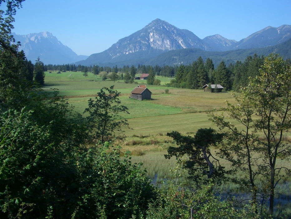
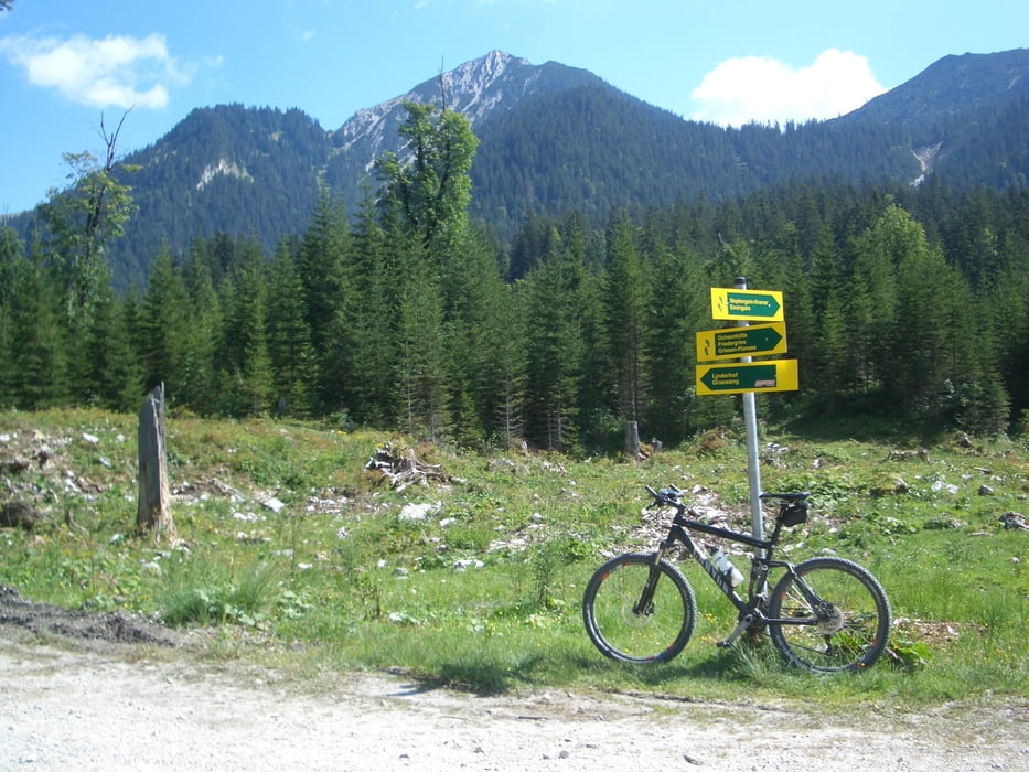
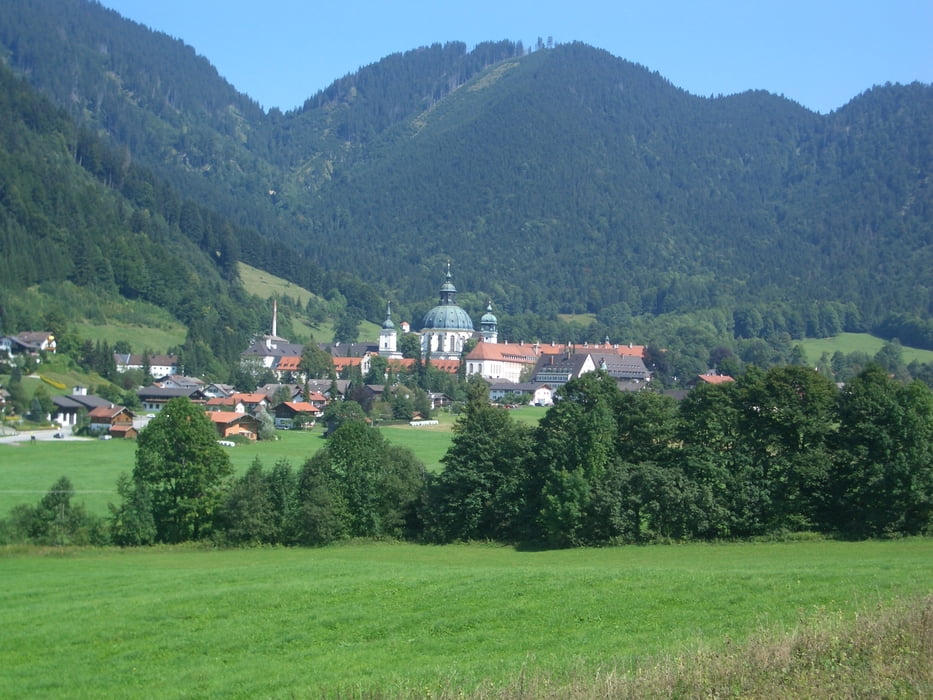
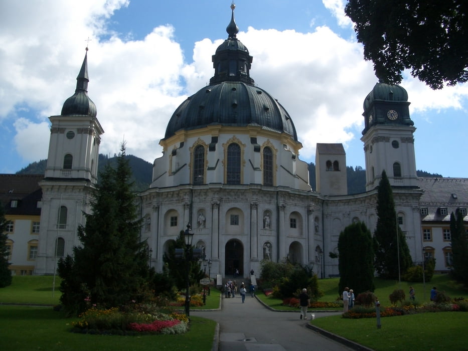
Von Ohlstadt über Eschenlohe nach Oberau, von hier ab eine Runde um den Kramer über Farchant, Garmisch, Greinau und Ettal.

Danach wieder nach Oberau und ab da auf dem Anfahrtsweg zurück nach Ohlstadt.


Tour gallery

Tour map and elevation profile

  • Open Street Map
  • Google
Minimum height 630 m Maximum height 1194 m Detailed view

More about the tour author

bruno68
Member since 2008

Send private message

Comments

GPS tracks

Trackpoints
  • GPX / Garmin Map Source (gpx) download
  • TCX / Garmin Training Center® (tcx) download
  • CRS / Garmin Training Center® (crs) download
  • Google Earth (kml) download
  • G7ToWin (g7t) download
  • TTQV (trk) download
  • Overlay (ovl) download
  • Fugawi (txt) download
  • Kompass (DAV) Track (tk) download
  • Track data sheet (pdf) download
  • Original file of the author (gpx) download

More about the tour author

bruno68
Member since 2008

Send private message
Share track
Add to my favorites
Remove from my favorites
Edit tags
My score
Rate
Track: Von Ohlstadt aus Rund um den Kramer
Type: Mountain bike
Distance: 73,0 km
Evaluated on:
Duration:
Day(s)
Hour(s)
Minute(s)
Score: Landscape Fun factor Fitness Technique